Armagh City Banbridge And Craig
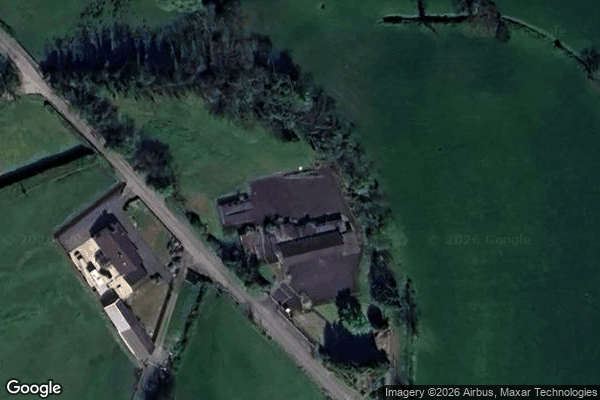
Urbex Map Derryraine Road, Armagh
Armagh City Banbridge And CraigNorthern IrelandUnited Kingdom
Regular lifetime updates
Derryraine Road, Armagh - Coordonnées GPS Urbex
Obtenez la coordonnée GPS exacte de ce lieu abandonné situé dans le département Armagh City Banbridge And Craig (Northern Ireland, United Kingdom). Spot urbex vérifié et géolocalisé.
Mullaghbrack, Mullabrack or Mullaghbrac (from Irish An Mullach Breac, meaning 'speckled hilltop') is a small civil parish, townland and village in County Armagh, Northern Ireland. The village of Mullaghbrack is on the road between Markethill and Hamiltonsbawn, just north of Gosford Forest Park. It had a population of 54 people (24 households) in the 2011 census, down from 75 people as of the 2001 census.
0,90EUR
Paiement unique - accès à vie
100% Secure Checkout
AMEX
Google Pay
stripe
SSL encrypted · No banking data stored
Ce qui est inclus
- Coordonnée GPS exacte
- Photo satellite du spot
- Accès immédiat après achat