Mid Ulster
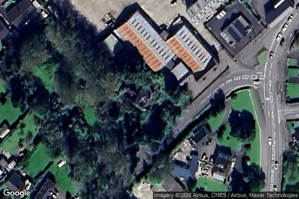
Urbex Map Craigadick Road, Maghera
Mid UlsterNorthern IrelandUnited Kingdom
Regular lifetime updates
Craigadick Road, Maghera - Coordonnées GPS Urbex
Obtenez la coordonnée GPS exacte de ce lieu abandonné situé dans le département Mid Ulster (Northern Ireland, United Kingdom). Spot urbex vérifié et géolocalisé.
Maghera ( MA-hə-RAH, MAK-ə-RAH; from Irish Machaire Rátha, meaning 'plain of the ringfort') is a small town at the foot of the Glenshane Pass in Northern Ireland. Its population was 4,235 in the 2021 census. Formerly in the barony of Loughinsholin within the historic County Londonderry, it is today in the local-government district of Mid-Ulster.
0,90EUR
Paiement unique - accès à vie
100% Secure Checkout
AMEX
Google Pay
stripe
SSL encrypted · No banking data stored
Ce qui est inclus
- Coordonnée GPS exacte
- Photo satellite du spot
- Accès immédiat après achat