Urbex Map Aberdeenshire
43 abandoned places in Aberdeenshire

43
spots
One-time payment - lifetime access
100% Secure Checkout
SSL encrypted · No banking data stored
Regular lifetime updates
Themes included in this pack
- Forteresse médiévale en ruine
- Abandoned houses
- forts
- Bunkers
All abandoned places in Aberdeenshire
43 verified GPS coordinates in the department of Aberdeenshire, Scotland, United Kingdom.
Looking for abandoned places in Aberdeenshire, Scotland, United Kingdom? Urbex Maps offers 43 verified GPS coordinates of abandoned buildings in this area, including Forteresse médiévale en ruine, Abandoned houses, forts, Bunkers.
43
verified spots
GPS
Google Maps, Waze
July 2026
last update
Where to find abandoned places in Aberdeenshire?
The best way to find abandoned places in Aberdeenshire is through the interactive urbex map on Urbex Maps with 43 verified GPS coordinates. Top categories are Forteresse médiévale en ruine, Abandoned houses, forts, Bunkers.
Types of abandoned places in Aberdeenshire
- Forteresse médiévale en ruine
- Abandoned houses
- forts
- Bunkers
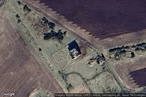
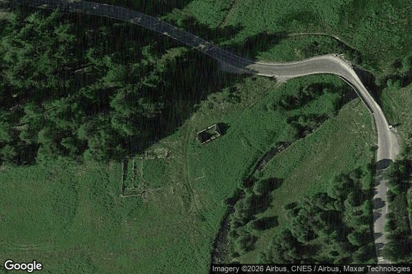
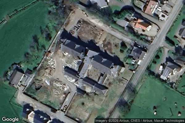
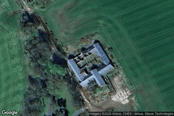
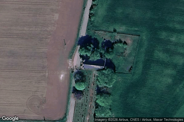
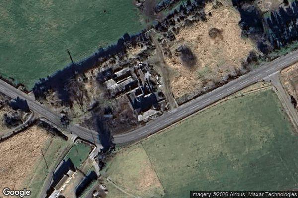
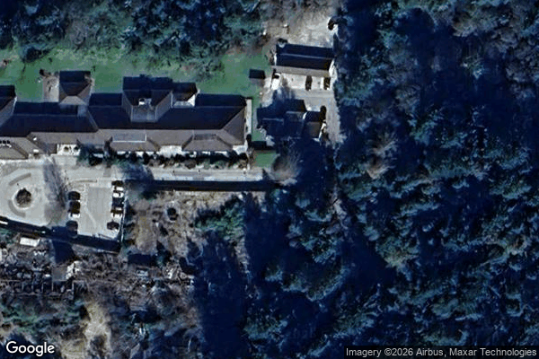
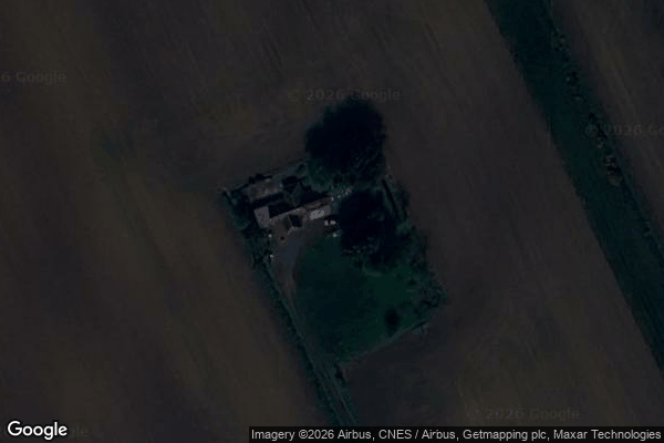
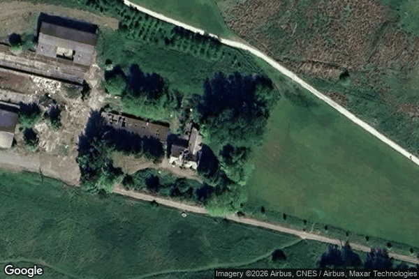
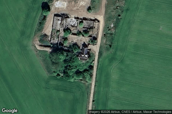
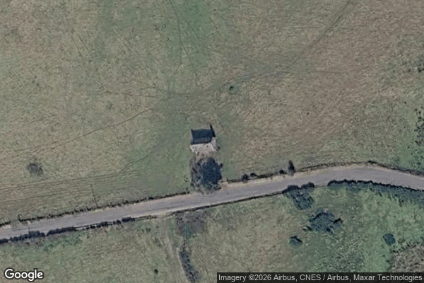
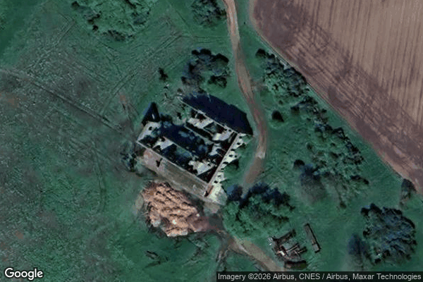
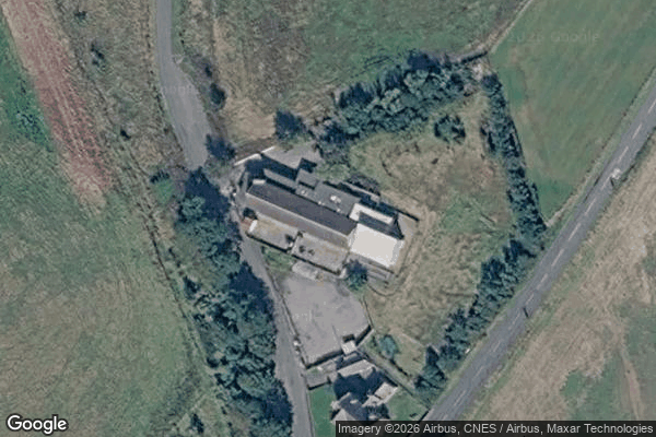
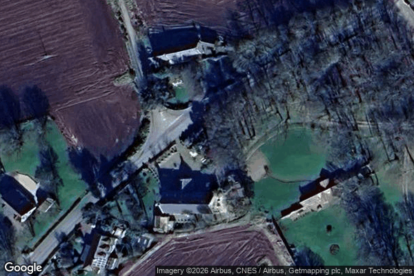
Spots in Aberdeenshire

A90, Longhaven

A98, Sandend
B9139, Ladysbridge

Bacchante Way, Kingseat
Banchory
Bank Road, Maud
Bressay Drive, Ellon
Cottown, Woodhead
Craigearn, Kemnay
Doocote, Cruden Bay
East Mains, Banchory
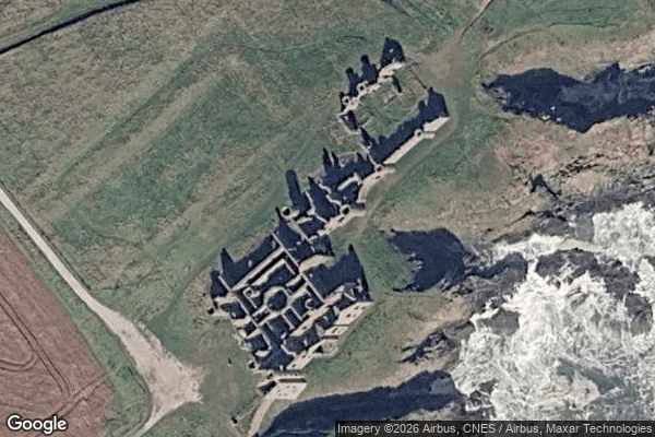
Ecclesgreig Castle, St Cyrus
Glassaugh Windmill
Imported Shadows of Data
James Street, Peterhead
King Edward

Low Shore, Whitehills
Meldrum Academy, Oldmeldrum
Newmachar Farmhouse
Peterhead

Pirriesmill, Huntly

Pitcaple, Whiteford
Points of Forgotten Ground

Rosehearty
Slains School, Collieston
The Extracted Spatial Void
The Geometry of Absence

The Geometry of Absence

The Imported Vector Ghost
The Latent Coordinate
The Mapped Silence

The Vector’s Silent Echo

Toux Cottages, Kirktown of Fetteresso
Traces Of A Phantom Grid
Traces of Imported Silence
Traces of a Mapped Silence

Traces of the Mapped Void
Union Street, Ellon

Upper Boyndae
Ury House, Stonehaven
Vectors of Forgotten Space
Vertices of the Void

Wardhouse