Urbex Map Caerphilly
16 abandoned places in Caerphilly

16
spots
One-time payment - lifetime access
100% Secure Checkout
SSL encrypted · No banking data stored
Regular lifetime updates
Themes included in this pack
- Castles
- Farms
All abandoned places in Caerphilly
16 verified GPS coordinates in the department of Caerphilly, Wales, United Kingdom.
Looking for abandoned places in Caerphilly, Wales, United Kingdom? Urbex Maps offers 16 verified GPS coordinates of abandoned buildings in this area, including Castles, Farms.
16
verified spots
GPS
Google Maps, Waze
July 2026
last update
Where to find abandoned places in Caerphilly?
The best way to find abandoned places in Caerphilly is through the interactive urbex map on Urbex Maps with 16 verified GPS coordinates. Top categories are Castles, Farms.
Types of abandoned places in Caerphilly
- Castles
- Farms
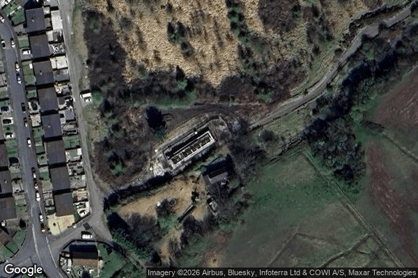
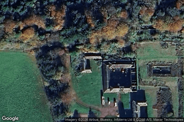
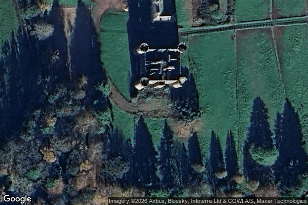
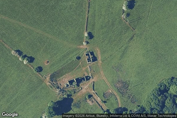
Spots in Caerphilly
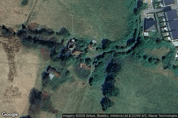
Albertina Road, Croespen-maen
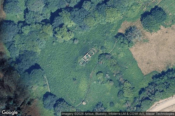
Ffwrwm Farm

Holly Bush, Brithdir
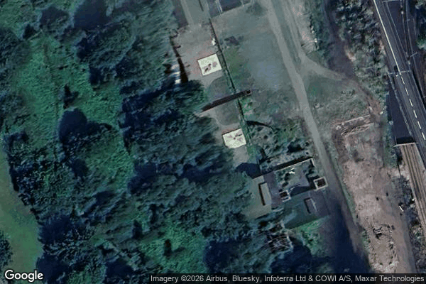
Lamp Room

Llan-fach, Gwyddon
Llechryd, Tredegar
Ridgeway Path
Ridgeway Path, Newport

Senghenydd

St Luke's Church, Abercarn

The Wash, Crumlin

Tredegar Terrace, Pont-y-waun
Ty Gwyn Isaf

West Lodge Path
Y Groes-wen

Ystrad Mynach