Urbex Map Cardiff
16 abandoned places in Cardiff

16
spots
One-time payment - lifetime access
100% Secure Checkout
SSL encrypted · No banking data stored
Regular lifetime updates
Themes included in this pack
- Hospitals
- Churches
All abandoned places in Cardiff
16 verified GPS coordinates in the department of Cardiff, Wales, United Kingdom.
Looking for abandoned places in Cardiff, Wales, United Kingdom? Urbex Maps offers 16 verified GPS coordinates of abandoned buildings in this area, including Hospitals, Churches.
16
verified spots
GPS
Google Maps, Waze
July 2026
last update
Where to find abandoned places in Cardiff?
The best way to find abandoned places in Cardiff is through the interactive urbex map on Urbex Maps with 16 verified GPS coordinates. Top categories are Hospitals, Churches.
Types of abandoned places in Cardiff
- Hospitals
- Churches
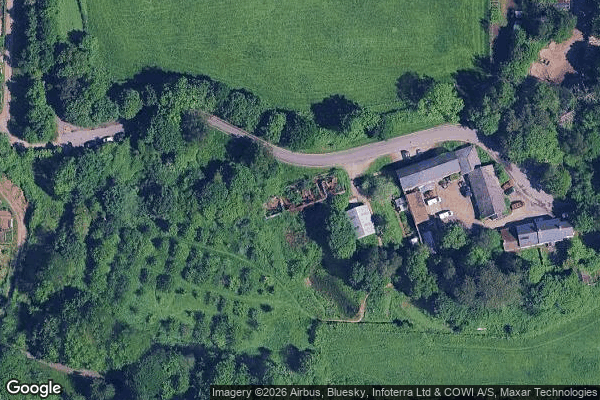
Spots in Cardiff

Barbican Wall

Cardiff

Cardiff

Ferrier Avenue, Cardiff

Haunted Asylum

Park Road, Cardiff

Pentrebane Road, Cardiff
Radyr

Remains of St Marys Church
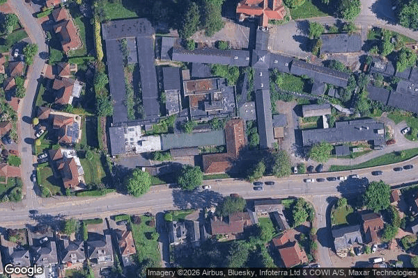
Rookwood Hospital

Rudry Road, Cardiff

St Edeyrn's Village, Cardiff

The Chantry, Cardiff

Tiger Bay, Cardiff

Tŷ Draw Road, Cardiff

Tŷ Draw Road, Cardiff