Urbex Map Carmarthenshire
39 abandoned places in Carmarthenshire

39
spots
One-time payment - lifetime access
100% Secure Checkout
SSL encrypted · No banking data stored
Regular lifetime updates
Themes included in this pack
- Churches
- Abandoned houses
All abandoned places in Carmarthenshire
39 verified GPS coordinates in the department of Carmarthenshire, Wales, United Kingdom.
Looking for abandoned places in Carmarthenshire, Wales, United Kingdom? Urbex Maps offers 39 verified GPS coordinates of abandoned buildings in this area, including Churches, Abandoned houses.
39
verified spots
GPS
Google Maps, Waze
July 2026
last update
Where to find abandoned places in Carmarthenshire?
The best way to find abandoned places in Carmarthenshire is through the interactive urbex map on Urbex Maps with 39 verified GPS coordinates. Top categories are Churches, Abandoned houses.
Types of abandoned places in Carmarthenshire
- Churches
- Abandoned houses
Spots in Carmarthenshire

Amman Valley Cycleway, Brynaman

Amman Valley Hospital, Cwmaman
Banc Glas

Beudyau

Blaen Cwm Pedol Isaf

Bro Myrddin, Carmarthen

Bwlch Y Rhew
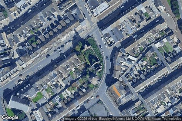
Carmarthen
Cilycwm
Cilycwm

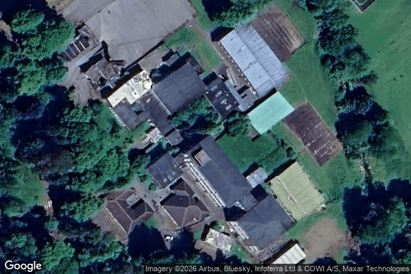
Cross Hands C.P. School, Cross Hands

Cwrt Henry
Cynwyl Gaeo, Sir Gaerfyrddin / Carmarthenshire

Eastgate, Llanelli

Eatzen Chinese Restaurant, Pont-iets

Fwng Uchaf
Fynnon Oer
Gallt Y Gyrnig
Gwar Y Rhedyn
Hafod

House Doppelganger

Job's Well Road, Carmarthen
Llandeilo

Llangennech Park Mansion
Lluest Bryn Serth

Maes Mynach
Moelwast
Park Street Congregational Church

Pembrey and Burry Port Town, Sir Gaerfyrddin / Carmarthenshire
Pen-y-graig

Penrherber
Pontarddulais
Rhandir Waunau

Tir-y-dail Lane, Ammanford
Tregib Campus
Troed Y Rhiw
Waun Wen
White arrow mansion

Whitland