Flintshire
Mapa Urbex Chester Road, Mold
FlintshireWalesReino Unido
Actualizaciones de por vida
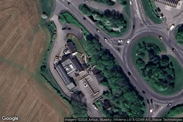
Chester Road, Mold - Coordonnées GPS Urbex
Obtenez la coordonnée GPS exacte de ce lieu abandonné situé dans le département Flintshire (Wales, Reino Unido). Spot urbex vérifié et géolocalisé.
Mold (Welsh: Yr Wyddgrug ) is a town and community in Flintshire, Wales, on the River Alyn. It is the historic county town and was the administrative seat of Flintshire County Council from 1996 to 2025, as it was of Clwyd from 1974 to 1996. According to the 2011 UK census, it had a population of 10,058.
0,90EUR
Paiement unique - accès à vie
Pago 100% seguro
AMEX
Google Pay
stripe
Conexión SSL cifrada · Sin datos bancarios almacenados
Ce qui est inclus
- Coordonnée GPS exacte
- Photo satellite du spot
- Accès immédiat après achat