Merthyr Tydfil
Urbex Map Treharris
Merthyr TydfilWalesUnited Kingdom
Regular lifetime updates
Treharris - Coordonnées GPS Urbex
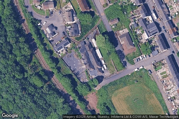
Obtenez la coordonnée GPS exacte de ce lieu abandonné situé dans le département Merthyr Tydfil (Wales, United Kingdom). Spot urbex vérifié et géolocalisé.
Mount Pleasant is a small village in the south of Merthyr Tydfil County Borough, Wales. It lies about 1 km (2⁄3 mi) south of Merthyr Vale, along the A4054 road (the former route of the A470 to Cardiff) and between that road and the River Taff. The village is also known as "The Black Lion" after the old signal box, controlling passenger and coal lines from Merthyr Vale Colliery to Cardiff on the Taff Vale Railway.
0,90EUR
Paiement unique - accès à vie
100% Secure Checkout
AMEX
Google Pay
stripe
SSL encrypted · No banking data stored
Ce qui est inclus
- Coordonnée GPS exacte
- Photo satellite du spot
- Accès immédiat après achat