Central Kootenay
Urbex Map The Mapped Silence
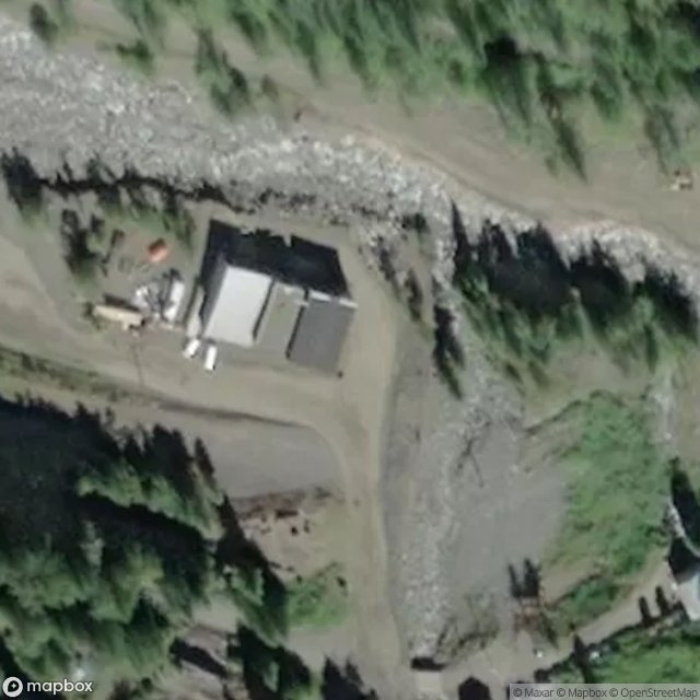
Central KootenayBritish ColumbiaCanada
Regular lifetime updates
The Mapped Silence - Coordonnées GPS Urbex
Obtenez la coordonnée GPS exacte de ce lieu abandonné situé dans le département Central Kootenay (British Columbia, Canada). Spot urbex vérifié et géolocalisé.
Carpenter Creek is a creek in the West Kootenay region of British Columbia. Carpenter creek flows out of the Selkirk Mountains, through the historic town of Sandon and into Slocan Lake at New Denver. The town of Sandon's main street was built over Carpenter Creek.
0,90EUR
Paiement unique - accès à vie
100% Secure Checkout
AMEX
Google Pay
stripe
SSL encrypted · No banking data stored
Ce qui est inclus
- Coordonnée GPS exacte
- Photo satellite du spot
- Accès immédiat après achat