Kootenay Boundary
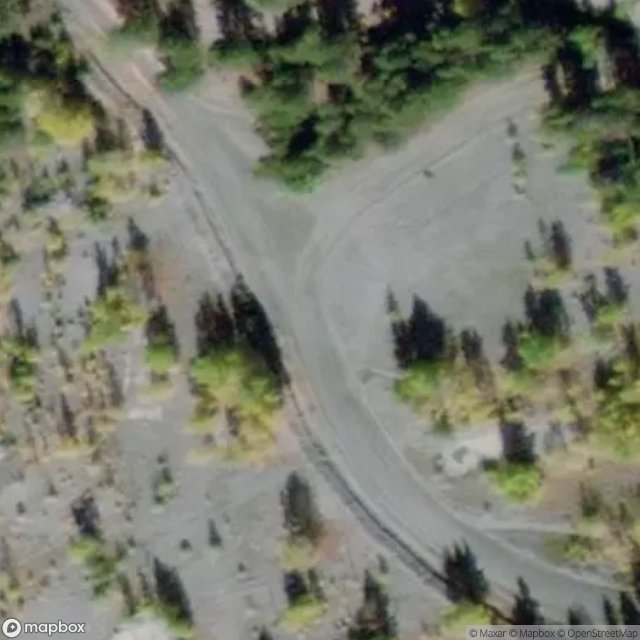
Urbex Map Lone Star Road, Area D (Granby Valley)
Kootenay BoundaryBritish ColumbiaCanada
Regular lifetime updates
Lone Star Road, Area D (Granby Valley) - Coordonnées GPS Urbex
Obtenez la coordonnée GPS exacte de ce lieu abandonné situé dans le département Kootenay Boundary (British Columbia, Canada). Spot urbex vérifié et géolocalisé.
Incorporated as a town in 1898, Phoenix had one of the most productive copper mines in B.C. for nearly two decades. It was of a company town, owned by Granby Consolidated Mining, To make it reality, the lumber and and iron were sold from the skating rink
0,90EUR
Paiement unique - accès à vie
100% Secure Checkout
AMEX
Google Pay
stripe
SSL encrypted · No banking data stored
Ce qui est inclus
- Coordonnée GPS exacte
- Photo satellite du spot
- Accès immédiat après achat