Urbex Map Brant
20 abandoned places in Brant

20
spots
One-time payment - lifetime access
100% Secure Checkout
SSL encrypted · No banking data stored
Regular lifetime updates
Themes included in this pack
- Ruins
All abandoned places in Brant
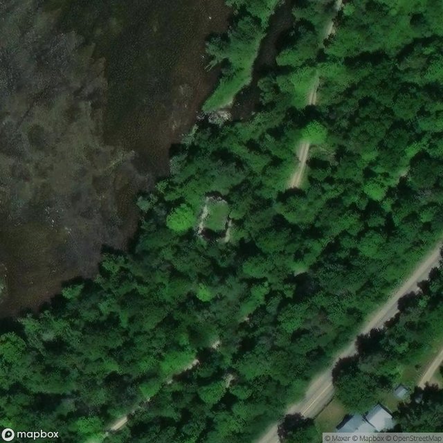
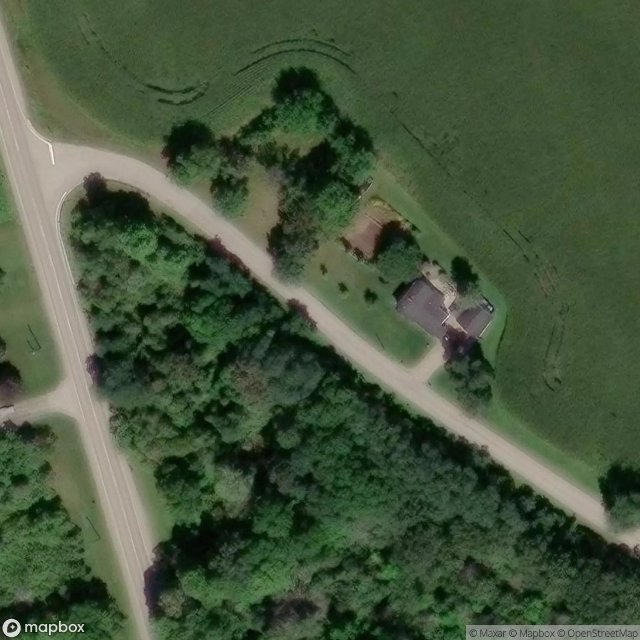
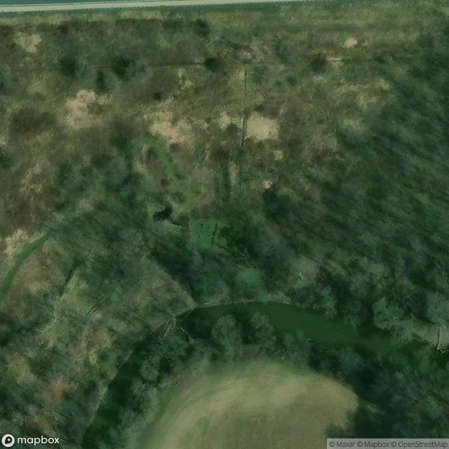
20 verified GPS coordinates in the department of Brant, Ontario, Canada.
Looking for abandoned places in Brant, Ontario, Canada? Urbex Maps offers 20 verified GPS coordinates of abandoned buildings in this area, including Ruins.
20
verified spots
GPS
Google Maps, Waze
July 2026
last update
Where to find abandoned places in Brant?
The best way to find abandoned places in Brant is through the interactive urbex map on Urbex Maps with 20 verified GPS coordinates. Top categories are Ruins.
Types of abandoned places in Brant
- Ruins
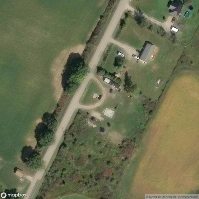
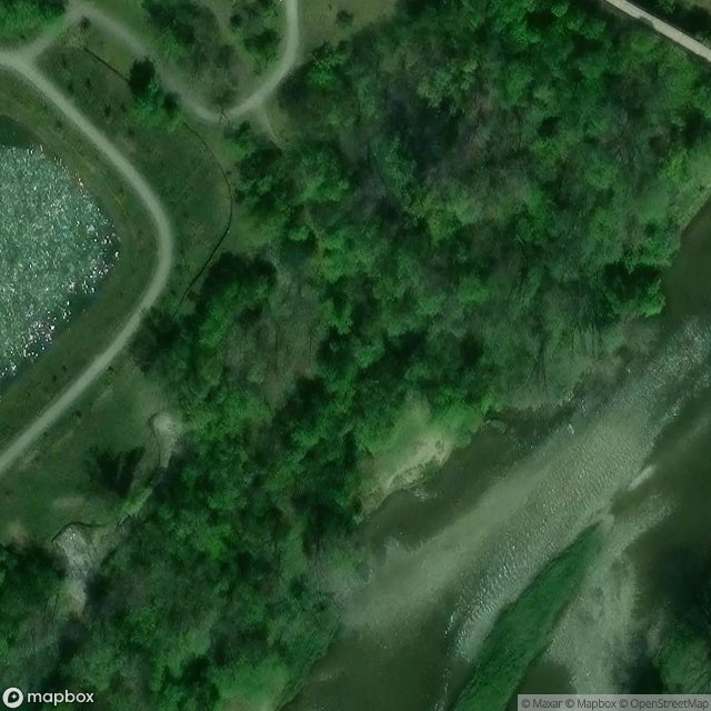
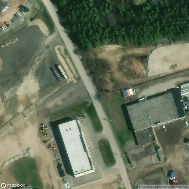
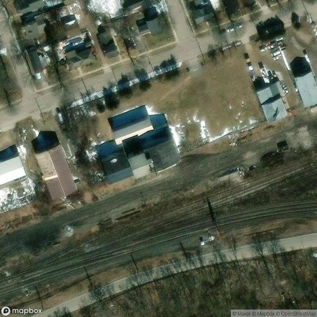
Spots in Brant
Cathcart, Norwich
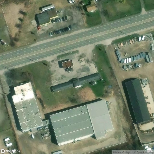
Colborne Street East, Brantford
Dundas Street East, Paris
Ellis Avenue, Mount Pleasant

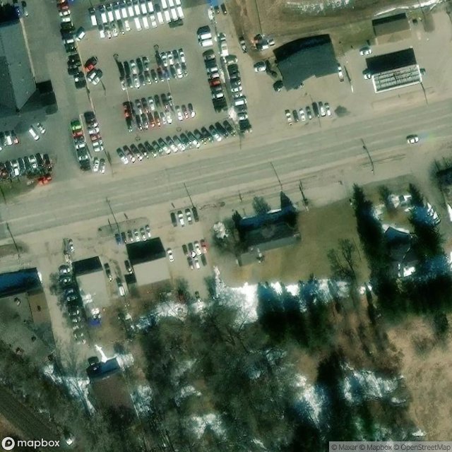
Garden Avenue, Brantford
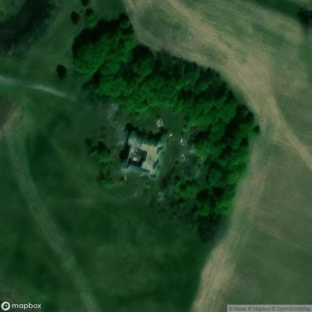
Germans Woolen Mill, Glen Morris
Gordon Glaves Memorial Pathway, Brantford
Henderson Road
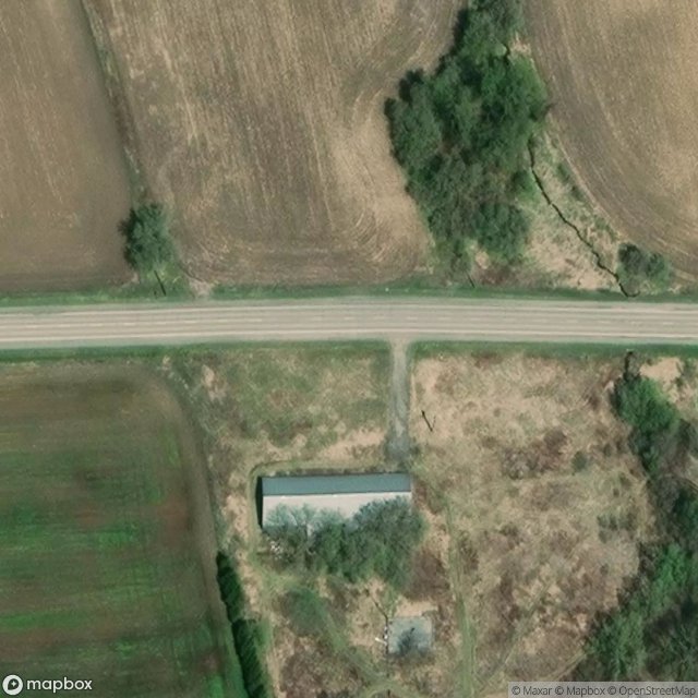
Highway 403, Brantford
New Credit Road
Oak Hill Trail, Brantford
Papple Road
Shadows in the Grid
The Geometric Echo
The Imported Silence

The Phantom Coordinate Trace
Traces Within the Grid

Traces of Mapped Silence
Traces of the Grid
Welton Road, Brantford