Urbex Map Durham
46 abandoned places in Durham

46
spots
One-time payment - lifetime access
100% Secure Checkout
SSL encrypted · No banking data stored
Regular lifetime updates
All abandoned places in Durham
46 verified GPS coordinates in the department of Durham, Ontario, Canada.
Looking for abandoned places in Durham, Ontario, Canada? Urbex Maps offers 46 verified GPS coordinates of abandoned buildings in this area, including .
46
verified spots
GPS
Google Maps, Waze
July 2026
last update
Where to find abandoned places in Durham?
The best way to find abandoned places in Durham is through the interactive urbex map on Urbex Maps with 46 verified GPS coordinates. Top categories are .
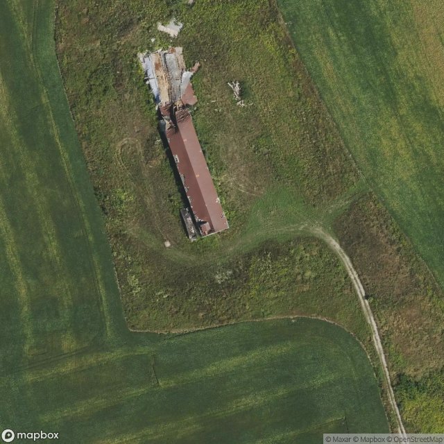
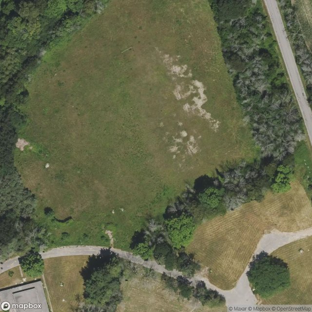
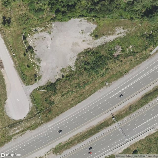
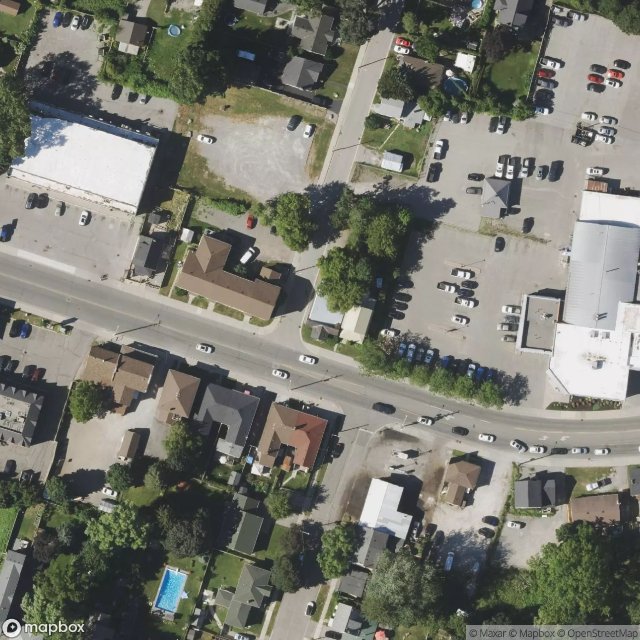
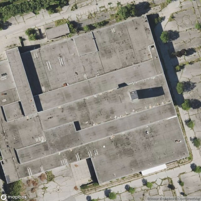
Spots in Durham

9th Concession Road, Pickering

A Vector Into Silence
Belford, Pickering
Bowmanville POW camp, Bowmanville
Brougham, Pickering
Brown Street, Bowmanville
Central, Oshawa
Concession Road 3, Newcastle
Concession Road 5, Clarington
Concession Road 5, Orono
Concession Road 6, Uxbridge

Concession Street East, Clarington

Deckers Hill, Pickering
Finch Avenue, Pickering

Island Road, Port Perry
Longsault Road, Clarington
Macedonian Village, Whitby
Manchester, Scugog

Myrtle Station, Whitby
Oshawa
Regional Road 3, Enniskillen

Service Road, Newcastle
Seventh Concession Road, Pickering
Shadows of the Vector

Simcoe Street, Scugog

Stevenson, Whitby
Talbot, Brock

Taplin Drive, Pickering
The Geometry of Echoes

The Geometry of Silence
The Geometry of Silence

The Imported Phantom Grid
The Imported Silence
The Latent Coordinate

The Plotted Void Remains
The Vector's Silent Trace

Traced Within the Metadata

Traces Of A Ghost Map
Traces Within the Grid
Traces of Mapped Silence
Traces of the Grid
Tracing the Ghost Nodes
Vertices of the Void
Victoria Street East, Whitby
West Shore, Pickering
York Durham Line, Uxbridge