Mapa Urbex Halton
33 lugares abandonados en Halton

33
spots
Pago único - acceso de por vida
Pago 100% seguro
Conexión SSL cifrada · Sin datos bancarios almacenados
Actualizaciones de por vida
Temas incluidos en este pack
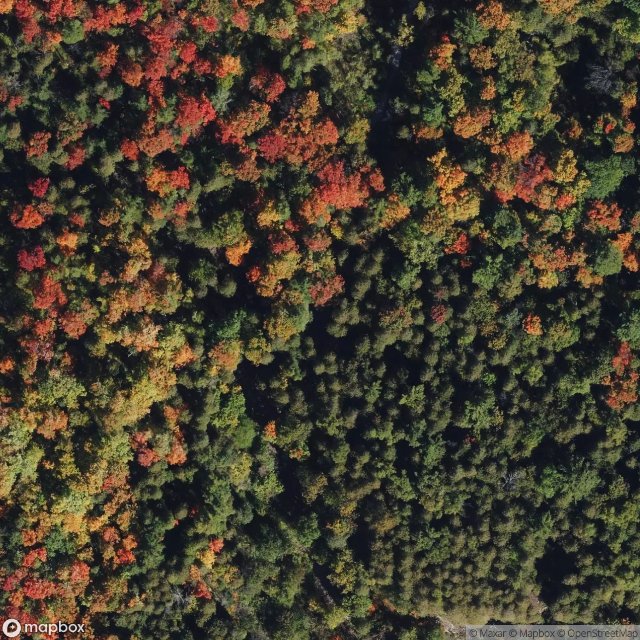
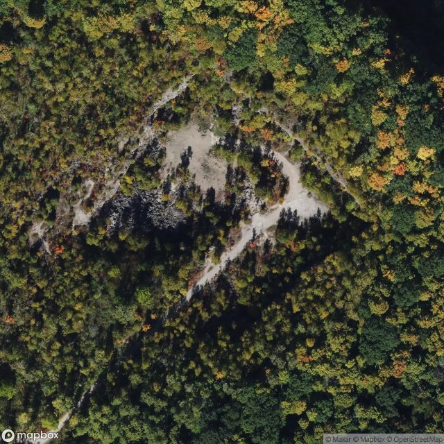
- Ruinas
Todos los lugares abandonados de Halton
33 coordenadas GPS verificadas en el departamento de Halton, Ontario, Canadá.
Buscas lugares abandonados en Halton, Ontario, Canadá? Urbex Maps ofrece 33 coordenadas GPS verificadas de edificios abandonados en esta zona, incluyendo Ruinas.
33
spots verificados
GPS
Google Maps, Waze
julio de 2026
ultima actualizacion
Donde encontrar lugares abandonados en Halton?
Los lugares abandonados en Halton se encuentran mejor a traves del mapa urbex interactivo de Urbex Maps con 33 coordenadas GPS verificadas.
Tipos de lugares abandonados en Halton
- Ruinas
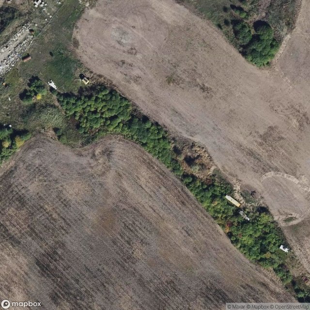
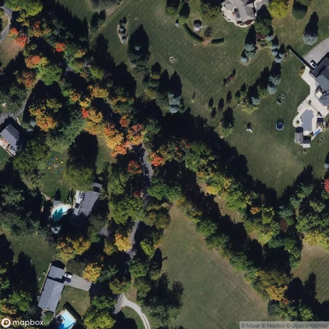
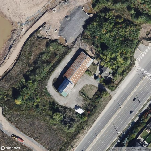
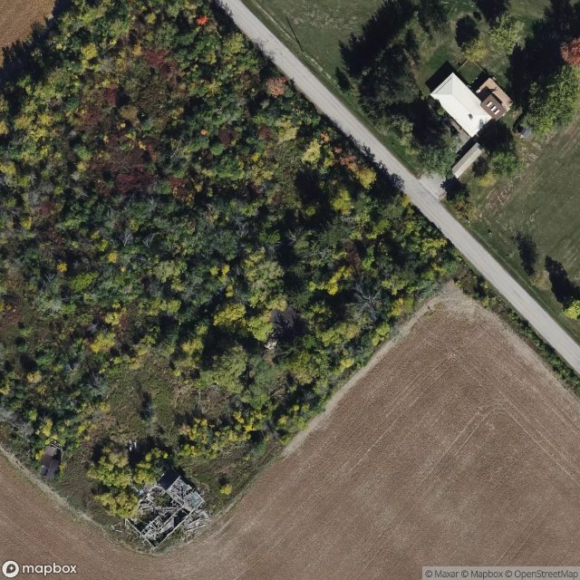
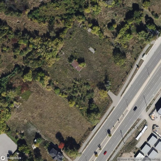
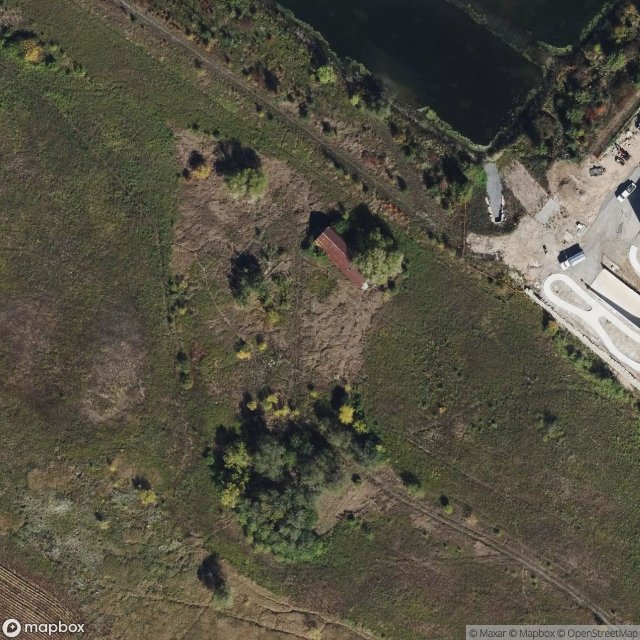
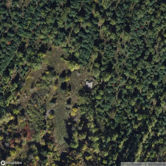
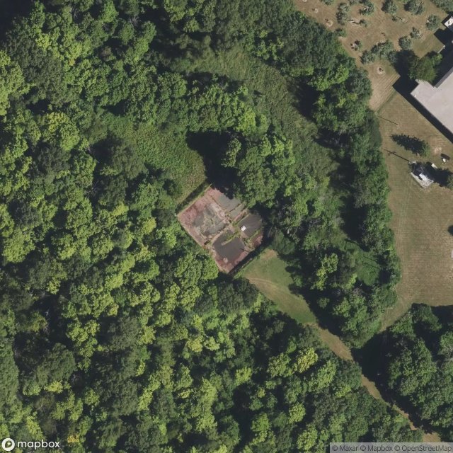
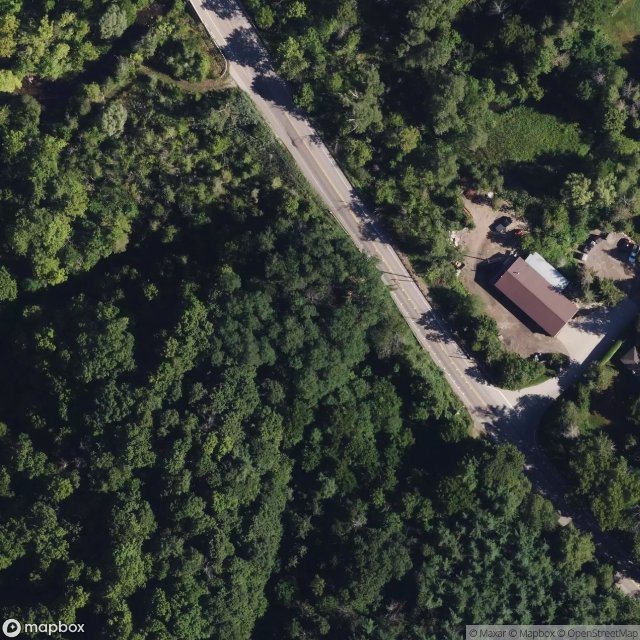
Spots en Halton

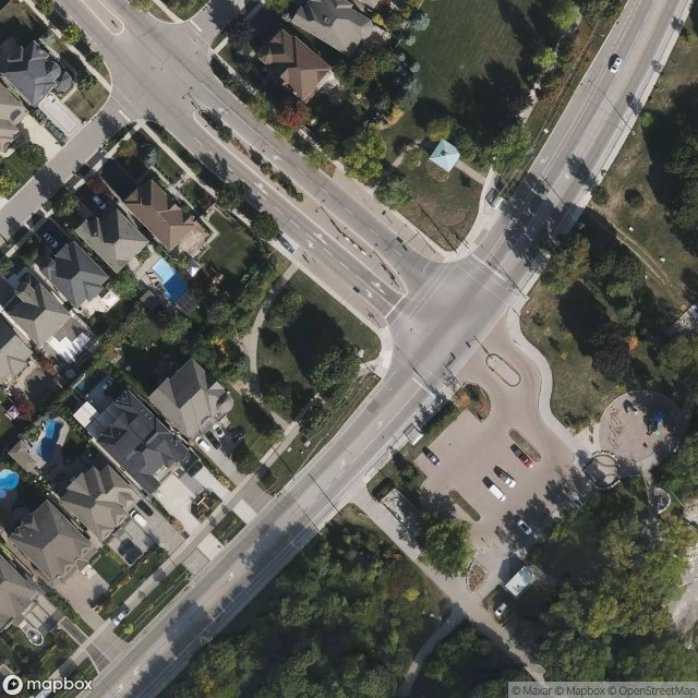
Bronte Street North, Milton
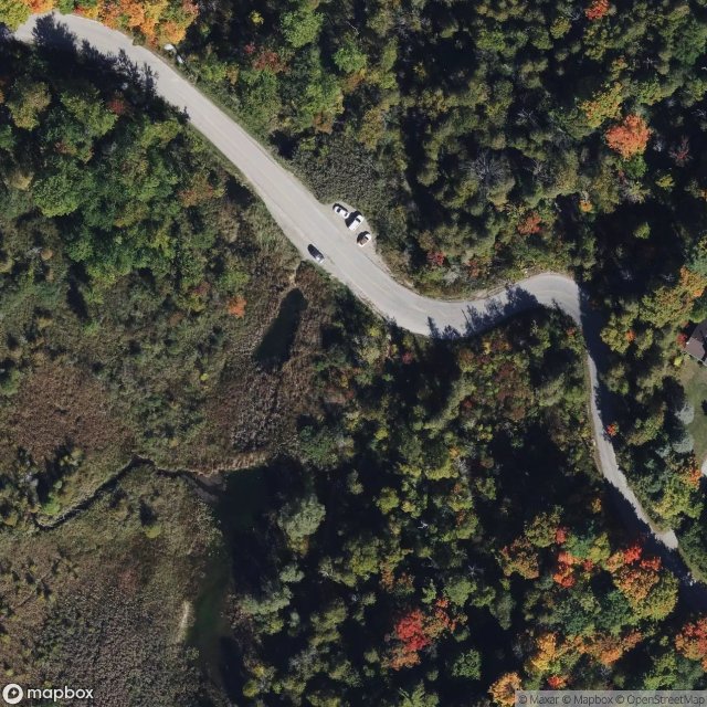
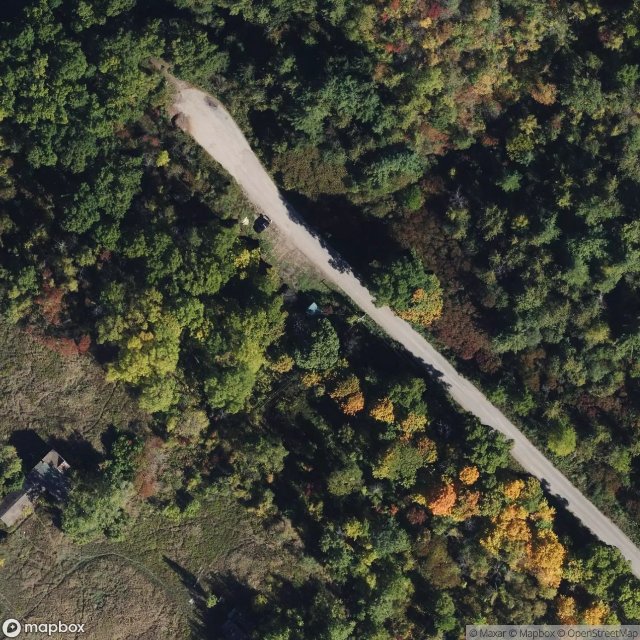
Bruce Trail - Iroquoia section, Milton
Colonist Drive, Oakville

First Line Nassagaweya, Milton

Glenorchy, Oakville
Glenorchy, Oakville

Grays Lane, Burlington
Highway 401, Milton
Hilton Falls Side Trail (Bruce Trail), Milton
Mount Nemo Scout Camp, Burlington
Mount Nemo Side Trail (Bruce Trail), Burlington
Mount Nemo, Burlington
Ninth Line, Oakville
No. 8 Side Road, Kilbride
Oakville
Omagh, Milton
Palermo, Oakville

Rebecca Street, Oakville
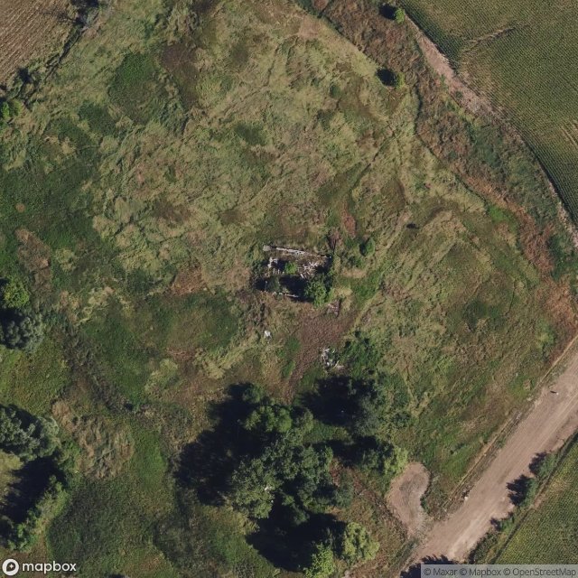
Ruins
Shadows of the Imported
Shadows of the Plotted Void
Shadows of the Silent Grid
The Geometry of Silence

The Imported Echo
The Imported Silence

The Latent Geometry

The Mapped Echo Remains
The Mapped Silence

Traces of a Mapped Void
Traces of the Grid

Tremaine Road, Milton
Walkers Line, Milton

Walkers Line, Milton