Urbex Map Hamilton
28 abandoned places in Hamilton

28
spots
One-time payment - lifetime access
100% Secure Checkout
SSL encrypted · No banking data stored
Regular lifetime updates
Themes included in this pack
- Ruins
- Lighthouses
All abandoned places in Hamilton
28 verified GPS coordinates in the department of Hamilton, Ontario, Canada.
Looking for abandoned places in Hamilton, Ontario, Canada? Urbex Maps offers 28 verified GPS coordinates of abandoned buildings in this area, including Ruins, Lighthouses.
28
verified spots
GPS
Google Maps, Waze
July 2026
last update
Where to find abandoned places in Hamilton?
The best way to find abandoned places in Hamilton is through the interactive urbex map on Urbex Maps with 28 verified GPS coordinates. Top categories are Ruins, Lighthouses.
Types of abandoned places in Hamilton
- Ruins
- Lighthouses
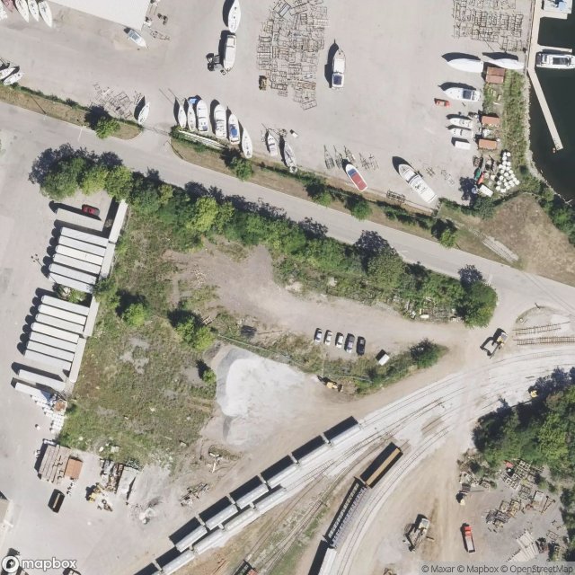
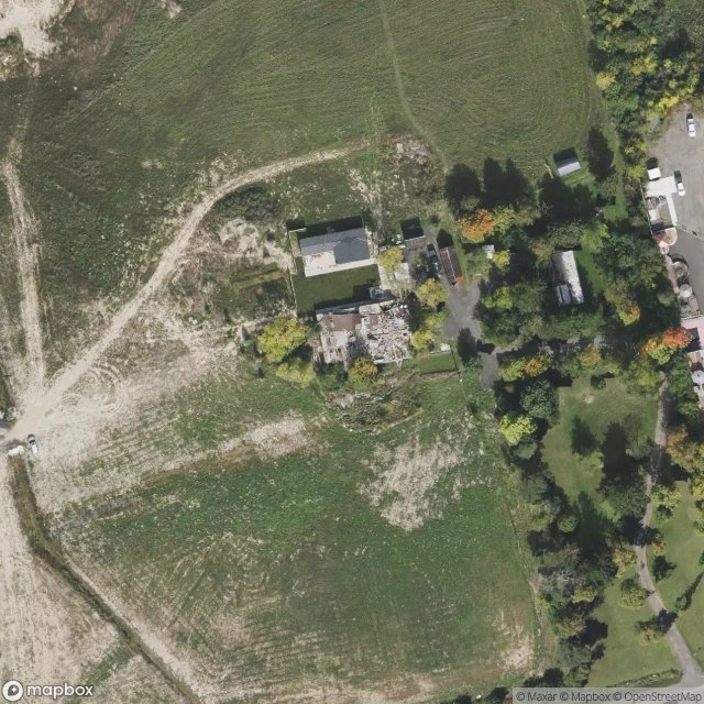
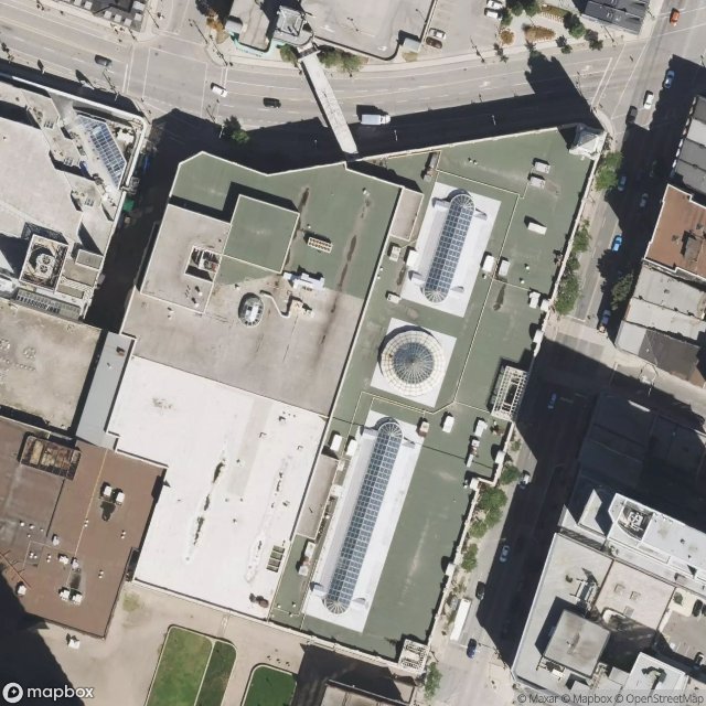
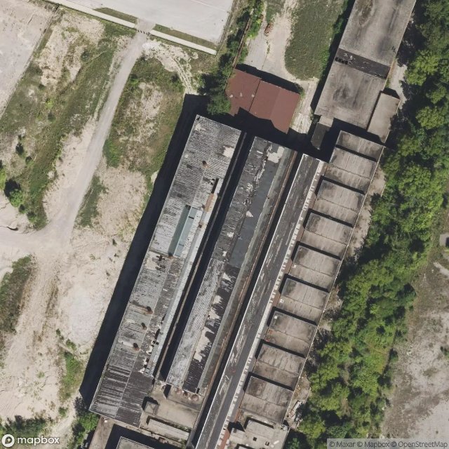
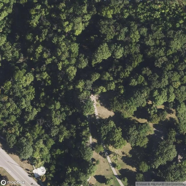
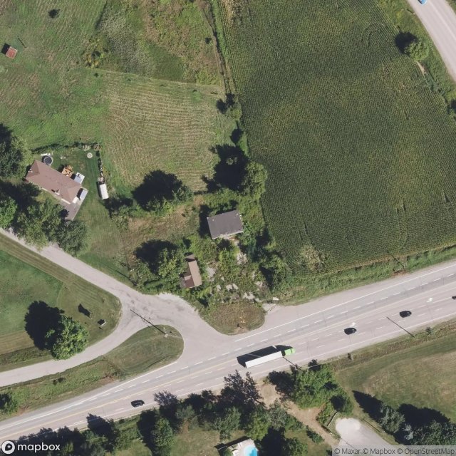
Spots in Hamilton

Binbrook, Hamilton
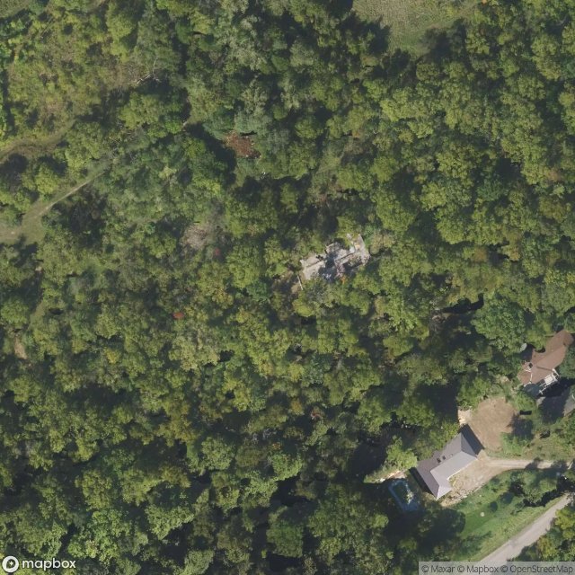
Bruce Trail, Hamilton
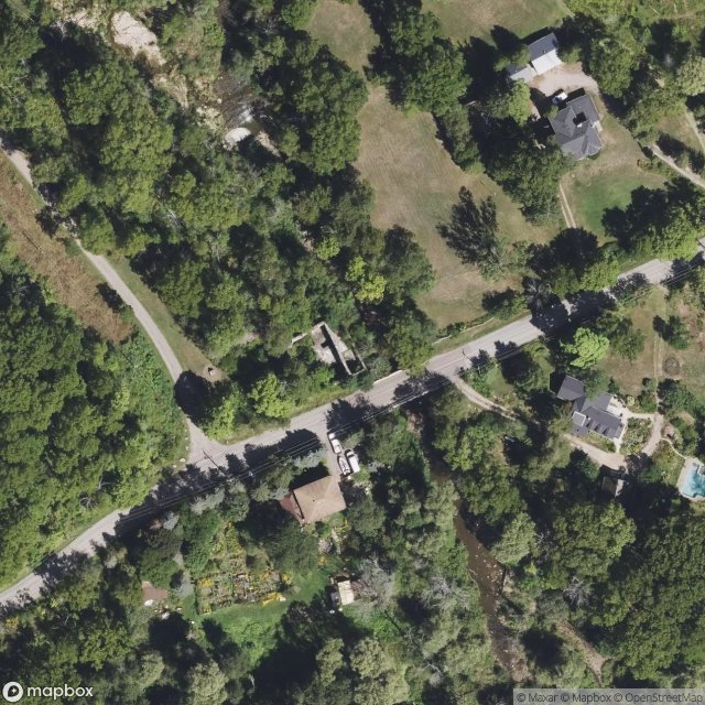
Darnley Mill, 1860, Hamilton
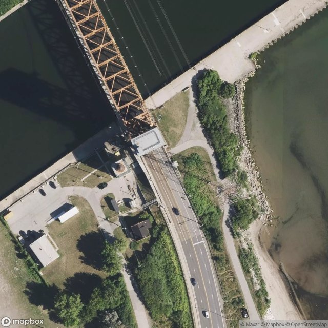
Eastport Drive, Hamilton
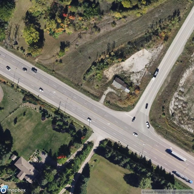
Echoes Of The Schema
Evans McKeil Way, Hamilton

Freelton, Hamilton
Grassie Blacksmith Shop
Highway 5 West, Hamilton
James Street North, Hamilton

Kirk Road, Hamilton

McMaster Innovation Park, Hamilton
Milburough Line, Milton

Mud Street East, Hamilton
Progreston, Hamilton
Shadows on the Map

St. Joseph's Healthcare Hamilton, Hamilton
The Geocoded Silence
The Geometry of Absence
The Geometry of Nowhere
The Geometry of Silence
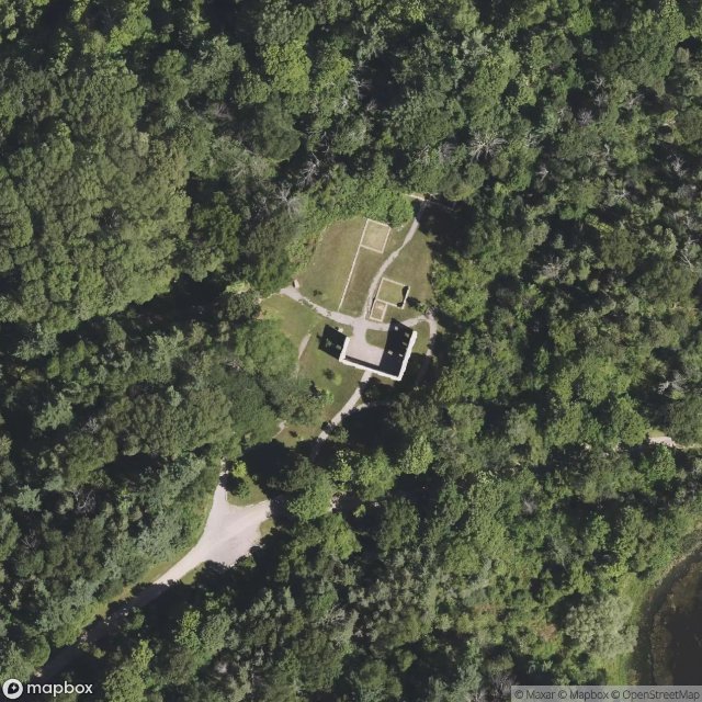
The Hermitage, Hamilton
The Imported Echo
The Mapped Silence
The Plotted Silence

Traces Within the Grid

Traces Within the Grid

Traces of a Mapped Silence