Mapa Urbex Huron
15 lugares abandonados en Huron

15
spots
Pago único - acceso de por vida
Pago 100% seguro
Conexión SSL cifrada · Sin datos bancarios almacenados
Actualizaciones de por vida
Temas incluidos en este pack
- Ruinas
- Lugares de culto
- Iglesias
Todos los lugares abandonados de Huron
15 coordenadas GPS verificadas en el departamento de Huron, Ontario, Canadá.
Buscas lugares abandonados en Huron, Ontario, Canadá? Urbex Maps ofrece 15 coordenadas GPS verificadas de edificios abandonados en esta zona, incluyendo Ruinas, Lugares de culto, Iglesias.
15
spots verificados
GPS
Google Maps, Waze
julio de 2026
ultima actualizacion
Donde encontrar lugares abandonados en Huron?
Los lugares abandonados en Huron se encuentran mejor a traves del mapa urbex interactivo de Urbex Maps con 15 coordenadas GPS verificadas.
Tipos de lugares abandonados en Huron
- Ruinas
- Lugares de culto
- Iglesias
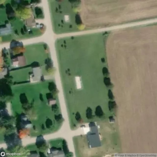
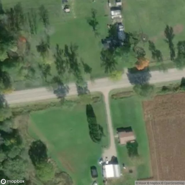
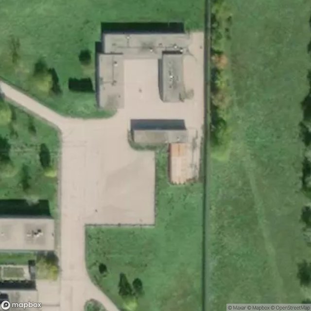
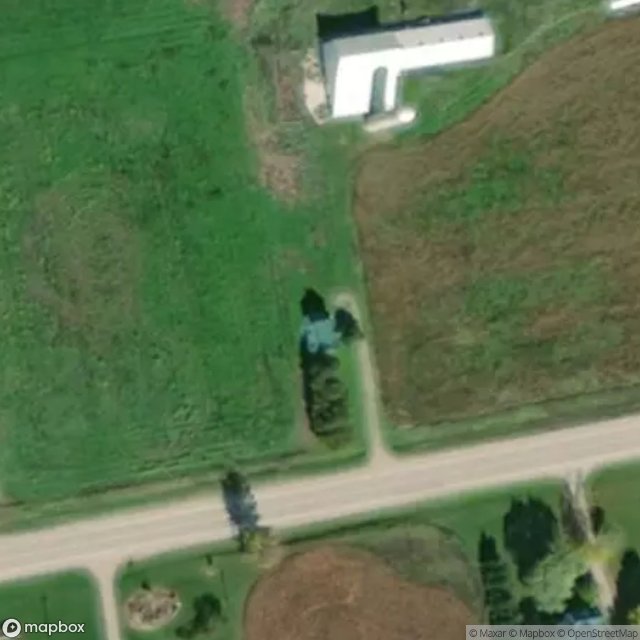
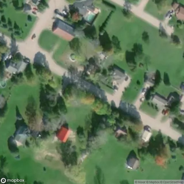
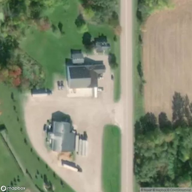
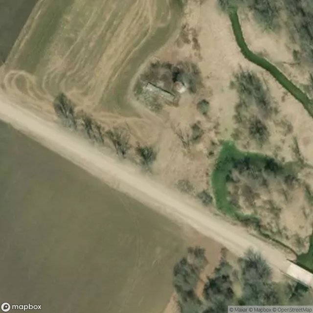
Spots en Huron

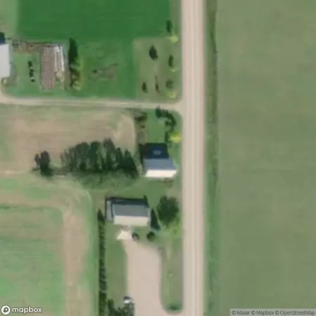
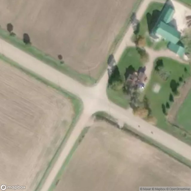
Browntown Road, Morris-Turnberry
Church Street, Wroxeter
Dashwood Road, Exeter
Goderich
Harriston Road, Howick

Harriston Road, Howick

Harriston Road, Howick
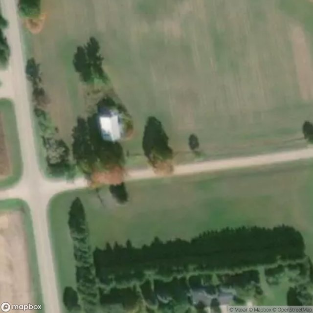
MacDonald Road, Bluewater
Nile Road, Ashfield–Colborne–Wawanosh
Remnants of the Plotted Void
The Geometry of Absence
The Geometry of Silence
Traces of the Grid
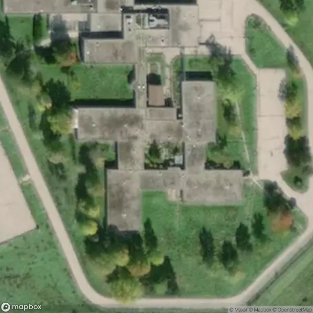
former Bluewater Youth Detention Centre

former Bluewater Youth Detention Centre