Sudbury
Urbex Map Estaire Road, Unorganized North Sudbury
SudburyOntarioCanada
Regular lifetime updates
Estaire Road, Unorganized North Sudbury - Coordonnées GPS Urbex
Obtenez la coordonnée GPS exacte de ce lieu abandonné situé dans le département Sudbury (Ontario, Canada). Spot urbex vérifié et géolocalisé.
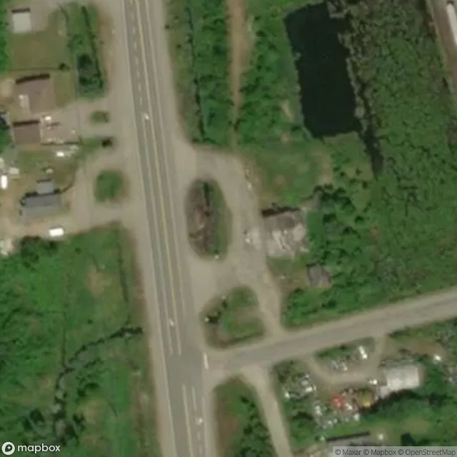
Estaire is an unincorporated community in the Unorganized North Part of Sudbury District in Northeastern Ontario, Canada. It is located in geographic Burwash Township, approximately 5 kilometres (3 mi) south of the southern city limits of Greater Sudbury. Estaire was formerly located directly along the route of Highway 69, but has been bypassed by a freeway, part of the extension of Ontario Highway 400, since November 13, 2009.
0,90EUR
Paiement unique - accès à vie
100% Secure Checkout
AMEX
Google Pay
stripe
SSL encrypted · No banking data stored
Ce qui est inclus
- Coordonnée GPS exacte
- Photo satellite du spot
- Accès immédiat après achat