Mapa Urbex Waterloo
24 lugares abandonados en Waterloo

24
spots
Pago único - acceso de por vida
Pago 100% seguro
Conexión SSL cifrada · Sin datos bancarios almacenados
Actualizaciones de por vida
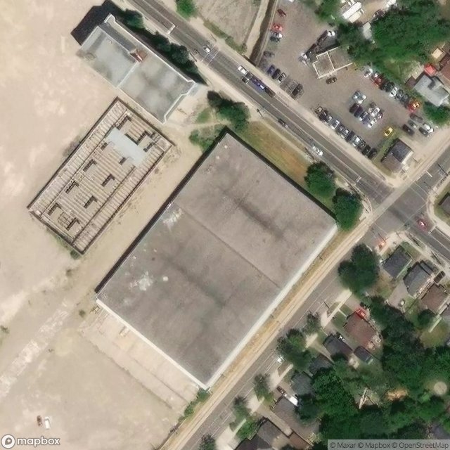
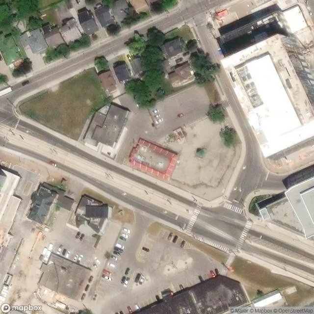
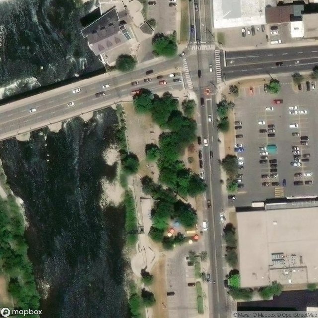
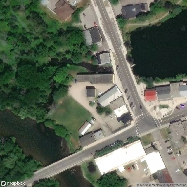
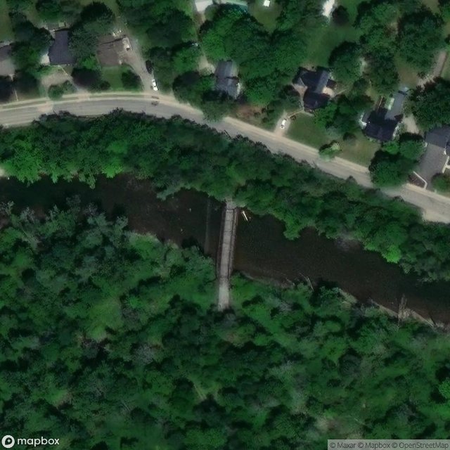
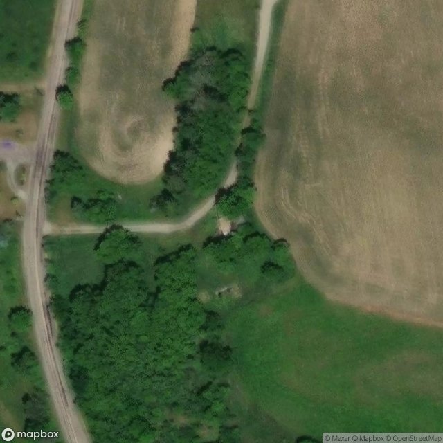
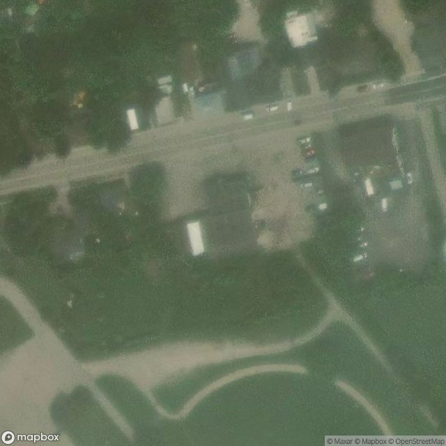
Todos los lugares abandonados de Waterloo
24 coordenadas GPS verificadas en el departamento de Waterloo, Ontario, Canadá.
Buscas lugares abandonados en Waterloo, Ontario, Canadá? Urbex Maps ofrece 24 coordenadas GPS verificadas de edificios abandonados en esta zona, incluyendo .
24
spots verificados
GPS
Google Maps, Waze
julio de 2026
ultima actualizacion
Donde encontrar lugares abandonados en Waterloo?
Los lugares abandonados en Waterloo se encuentran mejor a traves del mapa urbex interactivo de Urbex Maps con 24 coordenadas GPS verificadas.
Spots en Waterloo
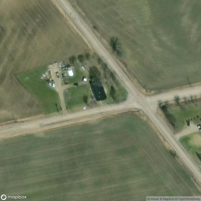
Berlett's Road, Wilmot
Blair, Cambridge

Bridgeport, Kitchener
Chalmers-Forrest Road, Wellesley
Coordinates in Digital Dust
Echoes of Digital Lines
Imported Shadows of the Grid

Kitchener
Living Levee Trail, Cambridge

Moore Avenue, Kitchener
Northumberland Street, Ayr
Piper Street, Ayr
Riverbank Drive, Cambridge

Root Rider, Waterloo
The Geographic Ghost Point
The Geometric Ghost
The Geometry of Absence
The Geometry of Silence

The Geometry of Silence

The Geometry of Silence
The Imported Echoes
The Imported Silent Node

The Latent Coordinate

The Residual Grid Trace