Desjardins
Urbex Map The Geometry of Silence
DesjardinsQuebecCanada
Regular lifetime updates
The Geometry of Silence - Coordonnées GPS Urbex
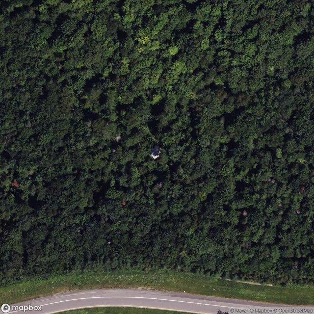
Obtenez la coordonnée GPS exacte de ce lieu abandonné situé dans le département Desjardins (Quebec, Canada). Spot urbex vérifié et géolocalisé.
Saint-Joseph-de-la-Pointe-De Lévy (French pronunciation: [sɛ̃ ʒozɛf də la pwɛ̃t də levi]) is a district (secteur) within the Desjardins borough of the city of Lévis, Quebec. Prior to its 2002 merger into the city of Lévis, it was a parish municipality, whose name was written as Saint-Joseph-de-la-Pointe-de-Lévy. It was also more colloquially known as Saint-Joseph-de-Lévis.
0,90EUR
Paiement unique - accès à vie
100% Secure Checkout
AMEX
Google Pay
stripe
SSL encrypted · No banking data stored
Ce qui est inclus
- Coordonnée GPS exacte
- Photo satellite du spot
- Accès immédiat après achat