Lotbiniere
Urbex Map Parkhurst, Saint-Patrice-de-Beaurivage
LotbiniereQuebecCanada
Regular lifetime updates
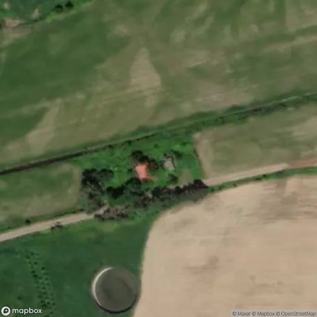
Parkhurst, Saint-Patrice-de-Beaurivage - Coordonnées GPS Urbex
Obtenez la coordonnée GPS exacte de ce lieu abandonné situé dans le département Lotbiniere (Quebec, Canada). Spot urbex vérifié et géolocalisé.
The Filkars River (in French: rivière Filkars) is a tributary of the Beaurivage River which is a tributary of the west bank of the Chaudière River (slope of the south bank of the St. Lawrence River). It flows in the municipalities of Saint-Sylvestre, Sainte-Agathe-de-Lotbinière and Saint-Patrice-de-Beaurivage, in the Lotbinière Regional County Municipality, in the administrative region of Chaudière-Appalaches, in Québec, in Canada.
0,90EUR
Paiement unique - accès à vie
100% Secure Checkout
AMEX
Google Pay
stripe
SSL encrypted · No banking data stored
Ce qui est inclus
- Coordonnée GPS exacte
- Photo satellite du spot
- Accès immédiat après achat