Portneuf
Urbex Map Traces in the Grid
PortneufQuebecCanada
Regular lifetime updates
Traces in the Grid - Coordonnées GPS Urbex
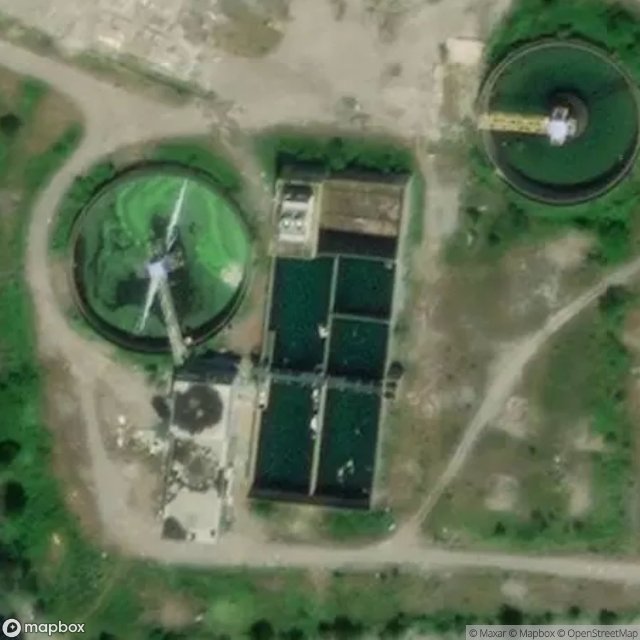
Obtenez la coordonnée GPS exacte de ce lieu abandonné situé dans le département Portneuf (Quebec, Canada). Spot urbex vérifié et géolocalisé.
The Jacques-Cartier River is a river in the province of Quebec, Canada. It is 161 km long and its source is Jacques-Cartier Lake in Laurentides Wildlife Reserve, and flows in a predominantly southern direction before ending in the Saint Lawrence River at Donnacona, about 30 km upstream from Quebec City. It is currently under nomination for Canadian Heritage River status.
0,90EUR
Paiement unique - accès à vie
100% Secure Checkout
AMEX
Google Pay
stripe
SSL encrypted · No banking data stored
Ce qui est inclus
- Coordonnée GPS exacte
- Photo satellite du spot
- Accès immédiat après achat