Urbex Map Zazacuala, Ixcateopan de Cuauhtémoc
Regular lifetime updates
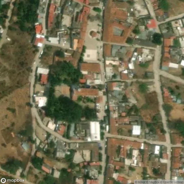
Zazacuala, Ixcateopan de Cuauhtémoc - Coordonnées GPS Urbex
Obtenez la coordonnée GPS exacte de ce lieu abandonné situé dans le département Ixcateopan De Cuauhtemoc (Guerrero, Mexico). Spot urbex vérifié et géolocalisé.
Ixcateopan de Cuauhtémoc is the head town of the municipality of Ixcateopan de Cuauhtémoc, located in isolated, rugged mountains in the northern part of the Mexican state of Guerrero. According to tradition, it is the final resting place of Aztec Emperor Cuauhtémoc, whose alleged remains were found under the parish church here in the mid-20th century. This church has been converted into a museum with displays a number of pre-Hispanic artifacts, offerings left in honor of the emperor and the all
Paiement unique - accès à vie
100% Secure Checkout
SSL encrypted · No banking data stored
Ce qui est inclus
- Coordonnée GPS exacte
- Photo satellite du spot
- Accès immédiat après achat