Marin
Urbex Map Traces of the Grid
MarinCaliforniaUnited States
Regular lifetime updates
Traces of the Grid - Coordonnées GPS Urbex
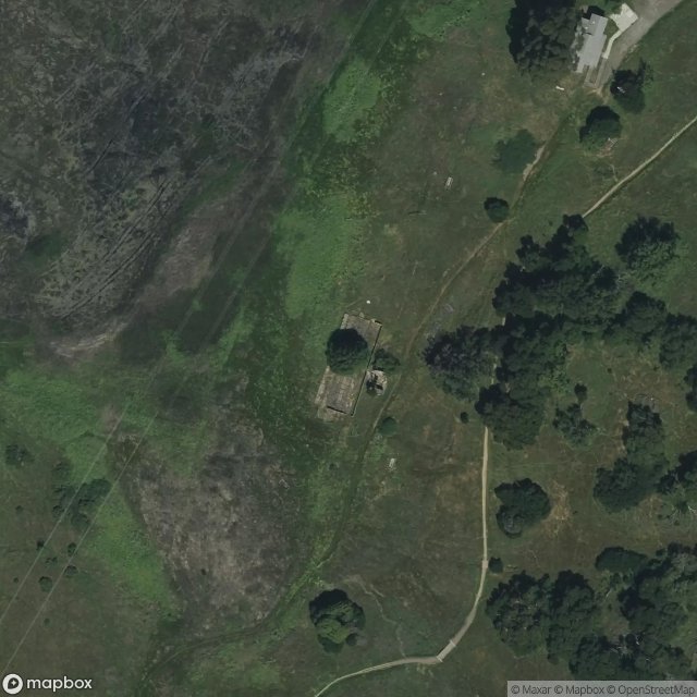
Obtenez la coordonnée GPS exacte de ce lieu abandonné situé dans le département Marin (California, United States). Spot urbex vérifié et géolocalisé.
Deer Island is a former island in Marin County, California, close to (and formerly surrounded by wetlands of) the Novato Creek, upstream of San Pablo Bay (an embayment of San Francisco Bay). It is now the location of Deer Island Preserve. It used to be inhabited by Antonio DeBorba, who hiked the nearby wetlands to avoid having to use a boat to get home.
0,90EUR
Paiement unique - accès à vie
100% Secure Checkout
AMEX
Google Pay
stripe
SSL encrypted · No banking data stored
Ce qui est inclus
- Coordonnée GPS exacte
- Photo satellite du spot
- Accès immédiat après achat