Urbex Map Boulder
18 abandoned places in Boulder

18
spots
One-time payment - lifetime access
Regular lifetime updates
Themes included in this pack
- Mines
- Mills
- Abandoned factories
All abandoned places in Boulder
18 verified GPS coordinates in the department of Boulder, Colorado, United States.
Looking for abandoned places in Boulder, Colorado, United States? Urbex Maps offers 18 verified GPS coordinates of abandoned buildings in this area, including Mines, Mills, Abandoned factories.
18
verified spots
GPS
Google Maps, Waze
July 2026
last update
Where to find abandoned places in Boulder?
The best way to find abandoned places in Boulder is through the interactive urbex map on Urbex Maps with 18 verified GPS coordinates. Top categories are Mines, Mills, Abandoned factories.
Types of abandoned places in Boulder
- Mines
- Mills
- Abandoned factories
Spots in Boulder

63rd Street, Boulder
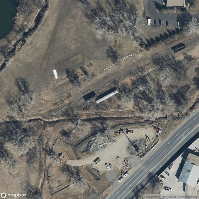
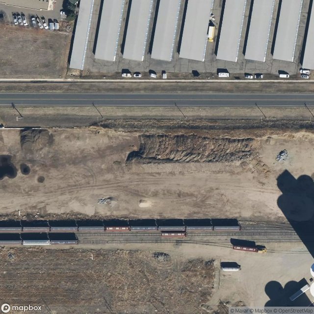
Abandoned train on valmont in boulder co

Boulder County, Colorado

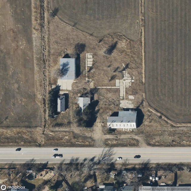
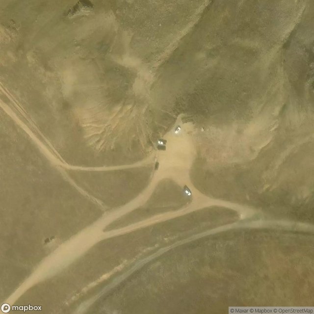
Boulder Mine
Bowen Street, Longmont
Caribou Ghost Town
Echoes in the Plotted Void

Ghost In The Vector Grid

Gunbarrel
High Lonesome Trail

Honey Creek Lane, Superior

Main Street, Longmont

Ninemile Corner, Erie
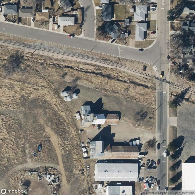
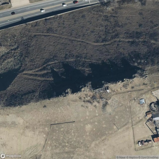
Sugar mill longmont co

The Geometry of Silence
Traces Plotted in Silence
Traces of an Imported Echo
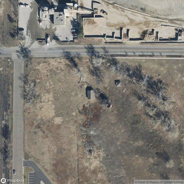
Tuberculosis Ward
Urbex FAQ for Boulder, United States
Is urban exploration legal in Boulder, United States?+
What types of abandoned places can I find in Boulder, United States?+
How do I use the GPS coordinates I've purchased?+
How many abandoned places are listed in Boulder, United States?+
What's the best season for exploring in Boulder, United States?+
What our articles say about these places
Explora todos los lugares abandonados de Colorado en el mapa urbex .Read the article : Abandoned Places in Colorado: 10 Best Sites (Free GPS) →
