Urbex Map Cook
23 abandoned places in Cook

23
spots
One-time payment - lifetime access
Regular lifetime updates
Themes included in this pack
- Train stations
- Abandoned factories
- Warehouses
- Cemeteries
- Paranormal
- ghost-photography
- haunted
- Theaters
All abandoned places in Cook
23 verified GPS coordinates in the department of Cook, Illinois, United States.
Looking for abandoned places in Cook, Illinois, United States? Urbex Maps offers 23 verified GPS coordinates of abandoned buildings in this area, including Train stations, Abandoned factories, Warehouses, Cemeteries, Paranormal, ghost-photography.
23
verified spots
GPS
Google Maps, Waze
July 2026
last update
Where to find abandoned places in Cook?
The best way to find abandoned places in Cook is through the interactive urbex map on Urbex Maps with 23 verified GPS coordinates. Top categories are Train stations, Abandoned factories, Warehouses, Cemeteries, Paranormal, ghost-photography.
Types of abandoned places in Cook
- Train stations
- Abandoned factories
- Warehouses
- Cemeteries
- Paranormal
- ghost-photography
- haunted
- Theaters
Spots in Cook
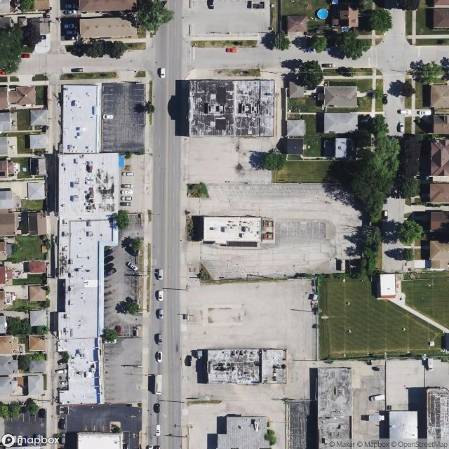
Abandoned Wendy’s
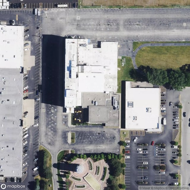
Abandoned YMCA
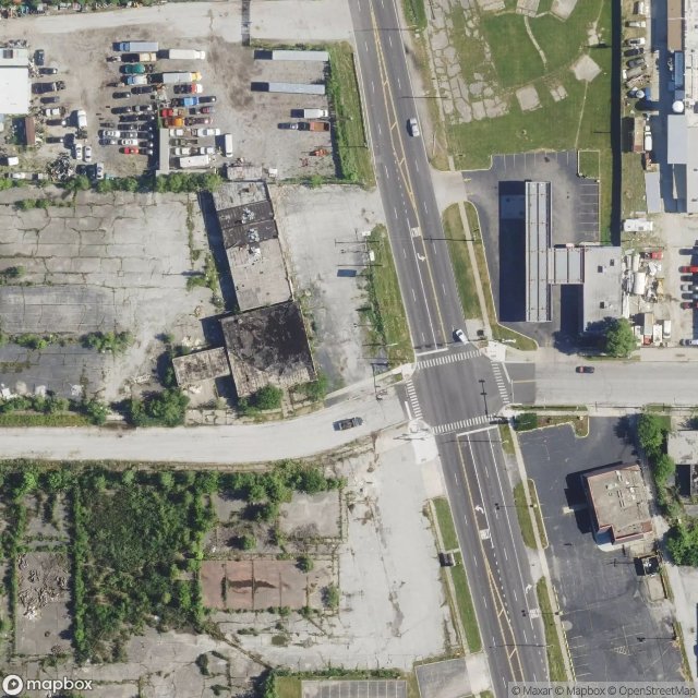
Abandoned lot of stores
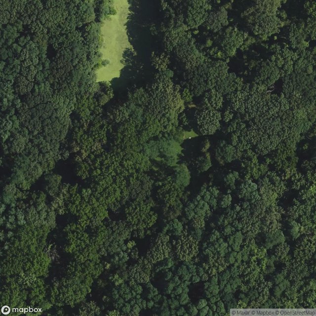
Bachelor's Grove Cemetery (Illinois, USA)
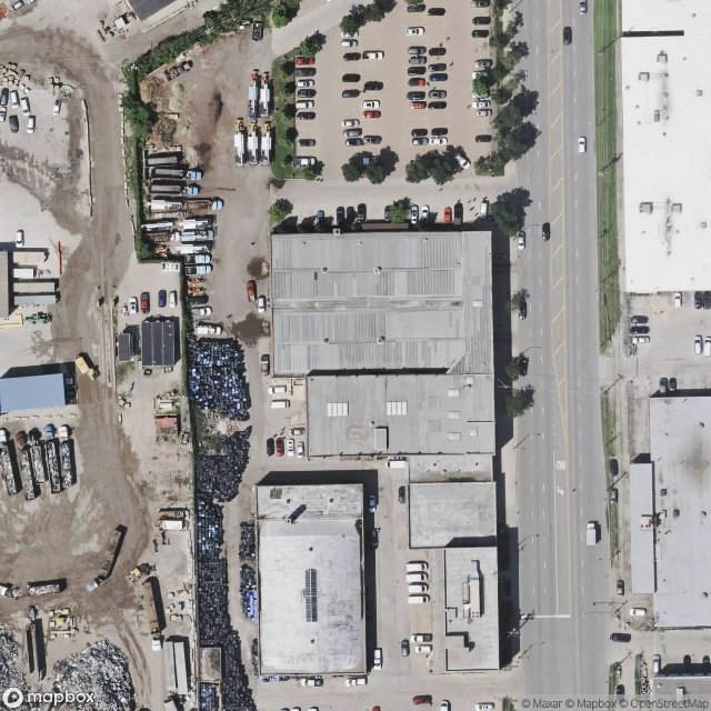
Damen Silos

Dead Spot - Coke Plant
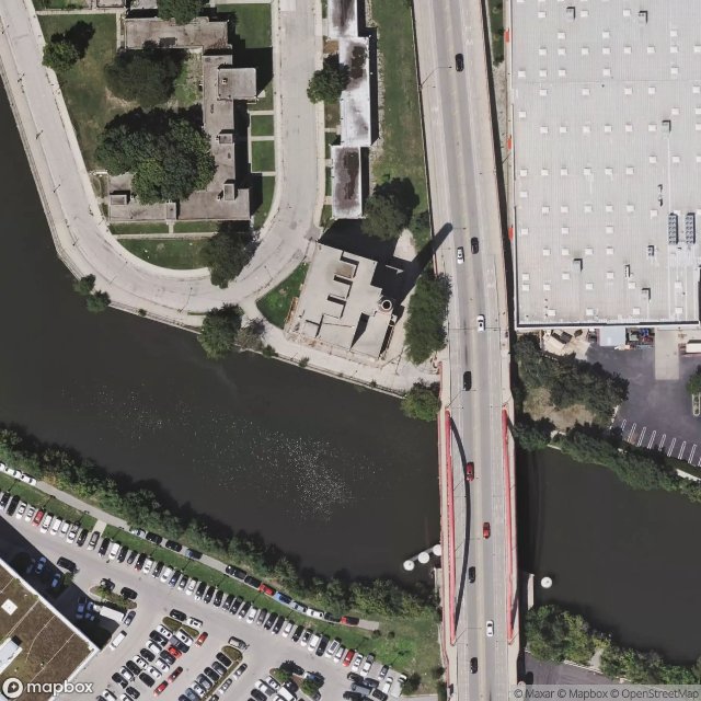
Diversy Projects Factory
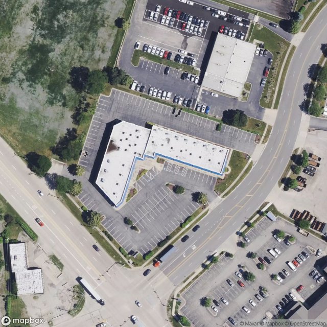
Elk Grove Village
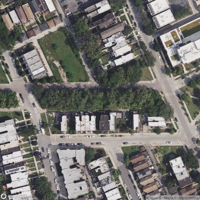
Ellis & Lake Park Station
Glenview

Lakefront Trail, Chicago
Latoff YMCA

Oak Park
Old Edgrbrook Station
Old abandoned warehouse

South Parkway Station
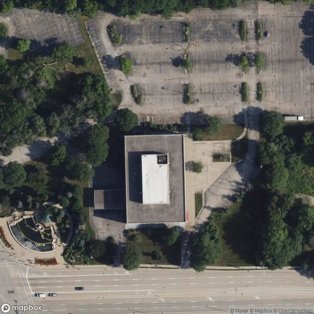
Stafford Drive, Wheeling

The Olympic Theater
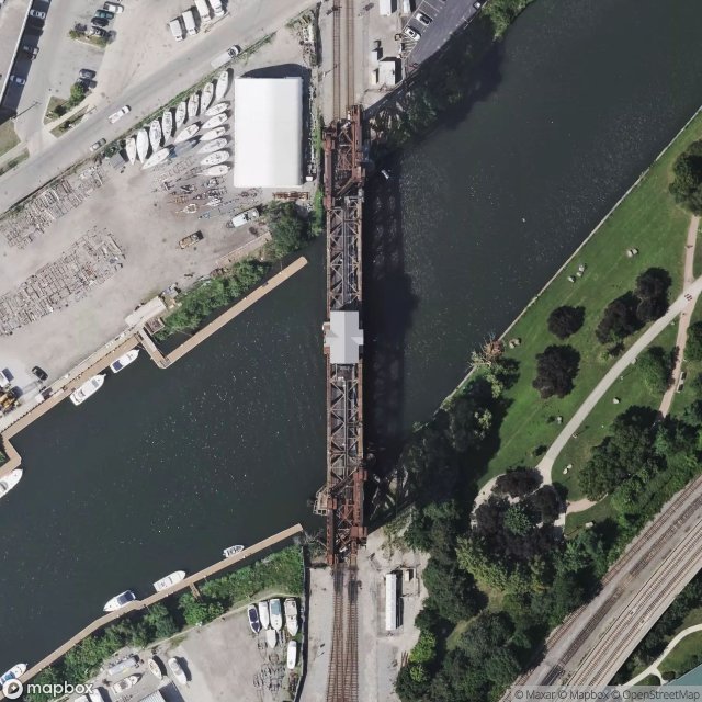
Two Metal Towers
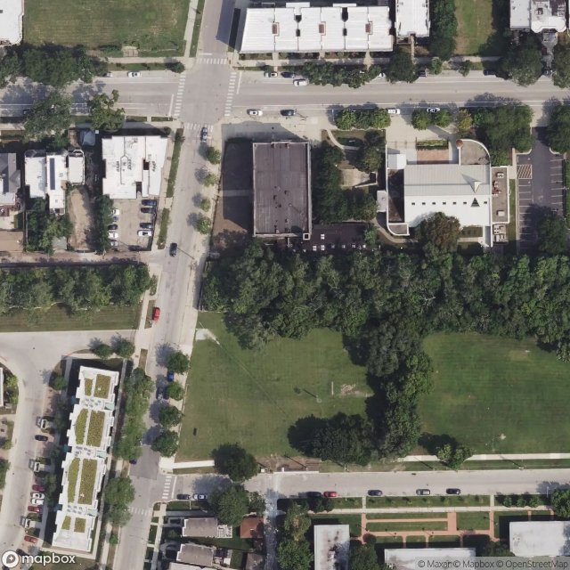
Vincennes Station

West 31st Street, Chicago
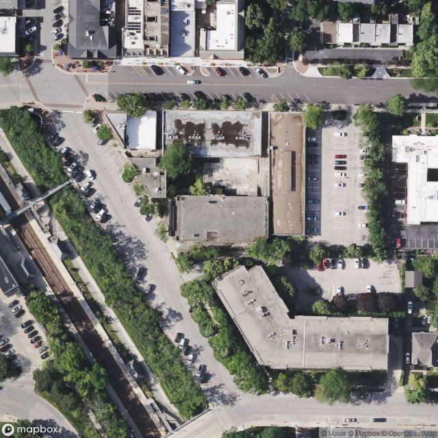
Winnetka

two abandoned houses
Urbex FAQ for Cook, United States
Is urban exploration legal in Cook, United States?+
What types of abandoned places can I find in Cook, United States?+
How do I use the GPS coordinates I've purchased?+
How many abandoned places are listed in Cook, United States?+
What's the best season for exploring in Cook, United States?+
What our articles say about these places
Le site est entièrement accessible pendant les heures d'ouverture du parc. Le monticule d'herbe couvrant les résidus d'incinérateur est interdit, mais le reste de l'ancienne empreinte de la ville est ouvert pour les promenades. Apportez un atlas Route 66 : l'alignement original traverse directement ce qui était autr…Read the article : Abandoned Haunted Places in the USA: 16 Spots + Map →
