Urbex Map Saint Louis
23 abandoned places in Saint Louis

23
spots
One-time payment - lifetime access
Regular lifetime updates
Themes included in this pack
- minnesota
- abandoned-hospital
- Sanatoriums
- Military
- mansion
- historic
- cold-war
- mining
All abandoned places in Saint Louis
23 verified GPS coordinates in the department of Saint Louis, Minnesota, United States.
Looking for abandoned places in Saint Louis, Minnesota, United States? Urbex Maps offers 23 verified GPS coordinates of abandoned buildings in this area, including minnesota, abandoned-hospital, Sanatoriums, Military, mansion, historic.
23
verified spots
GPS
Google Maps, Waze
July 2026
last update
Where to find abandoned places in Saint Louis?
The best way to find abandoned places in Saint Louis is through the interactive urbex map on Urbex Maps with 23 verified GPS coordinates. Top categories are minnesota, abandoned-hospital, Sanatoriums, Military, mansion, historic.
Types of abandoned places in Saint Louis
- minnesota
- abandoned-hospital
- Sanatoriums
- Military
- mansion
- historic
- cold-war
- mining
Spots in Saint Louis

Brooklyn, Hibbing
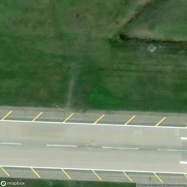
Duluth Air Force Base

Duluth Air Force Base Remnants

Duluth Heights, Duluth
Eldes Corner, Midway Township

Gary, Duluth
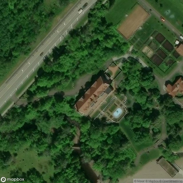
Glensheen Carriage House Duluth

Glensheen Mansion Carriage House Duluth

Hampshire Drive, Hoyt Lakes
Iron Range Ghost Town

Iron Range Ghost Towns Biwabik
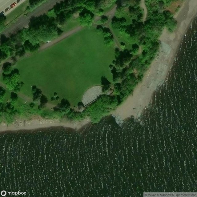
Leif Erikson Stage, Duluth
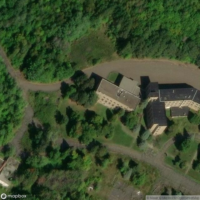
Nopeming Sanatorium Duluth

Nopeming Sanatorium Duluth

North 1st Avenue East, Duluth
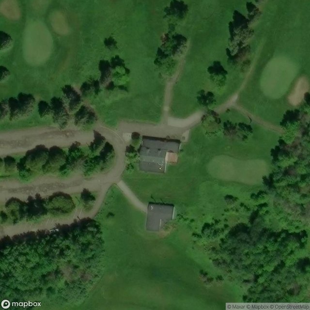
North Shore, Duluth

Oneota, Duluth

Proctor
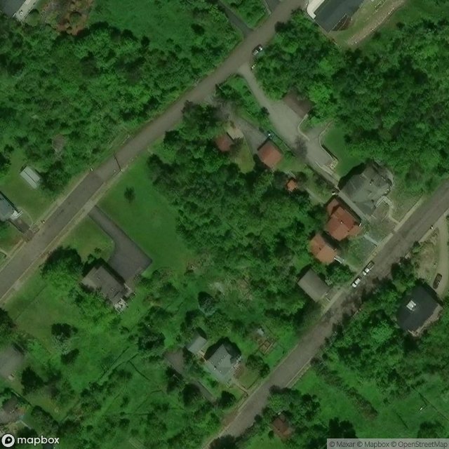
Shadows in the Data

Shadows of the Vector
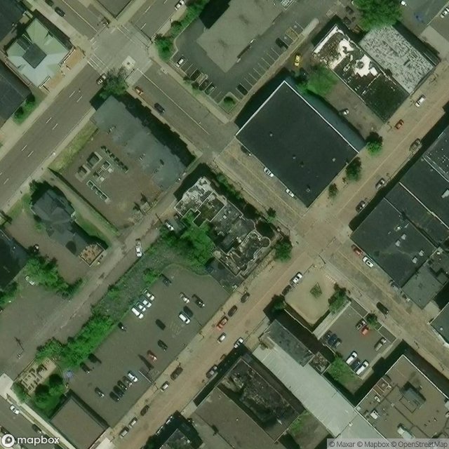
The Kozy Bar

The Plotted Void

West Arrowhead Road, Duluth
Urbex FAQ for Saint Louis, United States
Is urban exploration legal in Saint Louis, United States?+
What types of abandoned places can I find in Saint Louis, United States?+
How do I use the GPS coordinates I've purchased?+
How many abandoned places are listed in Saint Louis, United States?+
What's the best season for exploring in Saint Louis, United States?+
What our articles say about these places
What are the best abandoned places in Minnesota? The top abandoned places in Minnesota include Nopeming Sanatorium in Duluth (TB hospital, opened 1912), the Abandoned Flour Mills in Minneapolis (world's largest milling district, closed 1965), and the Iron Range Ghost Towns in St. Louis County (mining communities, ab…Read the article : Abandoned Places in Minnesota: 10 Best Sites (Free GPS) →
