Minnesota
Urbex Map St Louis County
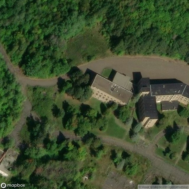
8 abandoned places in St Louis County
8
spots
4,90 €
One-time payment - lifetime access
Regular lifetime updates
Themes included in this pack
- minnesota
- cold-war
- Ghost towns
- historic
- mansion
- Military
- mining
- abandoned-hospital
All abandoned places in St Louis County
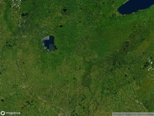
8 verified GPS coordinates in the department of St Louis County, Minnesota, United States.
Looking for abandoned places in St Louis County, Minnesota, United States? Urbex Maps offers 8 verified GPS coordinates of abandoned buildings in this area, including minnesota, cold-war, Ghost towns, historic, mansion, Military.
8
verified spots
GPS
Google Maps, Waze
June 2026
last update
Where to find abandoned places in St Louis County?
The best way to find abandoned places in St Louis County is through the interactive urbex map on Urbex Maps with 8 verified GPS coordinates. Top categories are minnesota, cold-war, Ghost towns, historic, mansion, Military.
Types of abandoned places in St Louis County
- minnesota
- cold-war
- Ghost towns
- historic
- mansion
- Military
- mining
- abandoned-hospital
Spots in St Louis County


Urbex FAQ for St Louis County, United States
Is urban exploration legal in St Louis County, United States?+
Urbex is generally tolerated in St Louis County, United States as long as you don't damage anything and don't enter actively guarded property. Respect "private property" and "no trespassing" signs. Never break a lock or window. Most spots sit in a legal gray area: breaking in = crime, entering through an open door or existing breach = civil trespass at worst.
What types of abandoned places can I find in St Louis County, United States?+
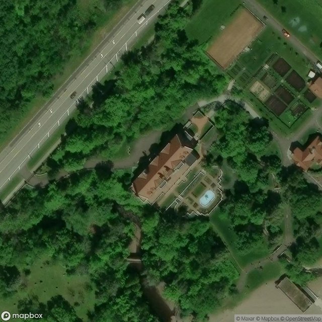
St Louis County, United States has 8 geolocated spots across multiple categories: abandoned castles and manor houses, industrial wastelands (factories, refineries, blast furnaces), disused hospitals and sanatoriums, military bunkers and fortifications, mines and quarries, railway stations, churches, hotels and ghost villages. Each type offers a unique atmosphere: industrial for raw machinery lovers, sacred for solemn moods.
How do I use the GPS coordinates I've purchased?+
After purchase, you get access to an interactive map directly on Urbex Maps. Your unlocked spots appear on the map with exact GPS coordinates. You can click any point to open navigation in Google Maps, Apple Maps or Waze in one click. Access is lifetime: no subscription, no recurring payments.
How many abandoned places are listed in St Louis County, United States?+
St Louis County, United States has 8 geolocated abandoned places with exact GPS coordinates, spread across 1 regions. It's one of the largest urbex databases in the world for this country, updated regularly by our community of explorers.
What's the best season for exploring in St Louis County, United States?+
Spring (April-May) and autumn (September-October) are ideal: golden light, mild temperatures, less invasive vegetation than peak summer. Avoid heavy rain (slippery moss, unstable floors) and nighttime without good visibility. Winter offers dramatic atmospheres but requires warm gear and powerful lights.
