Urbex Map Middlesex
18 abandoned places in Middlesex

18
spots
One-time payment - lifetime access
Regular lifetime updates
Themes included in this pack
- Hospitals
All abandoned places in Middlesex
18 verified GPS coordinates in the department of Middlesex, New Jersey, United States.
Looking for abandoned places in Middlesex, New Jersey, United States? Urbex Maps offers 18 verified GPS coordinates of abandoned buildings in this area, including Hospitals.
18
verified spots
GPS
Google Maps, Waze
July 2026
last update
Where to find abandoned places in Middlesex?
The best way to find abandoned places in Middlesex is through the interactive urbex map on Urbex Maps with 18 verified GPS coordinates. Top categories are Hospitals.
Types of abandoned places in Middlesex
- Hospitals
Spots in Middlesex
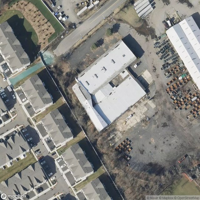
Abondoned office/wearhouse

Clay Street, Milltown

Clif Prescod Lane, Edison

Cornwall Road, South Brunswick

Dominic Court, Monroe Township

Ernston, Sayreville

Gillespie, Sayreville

Gillespie, Sayreville

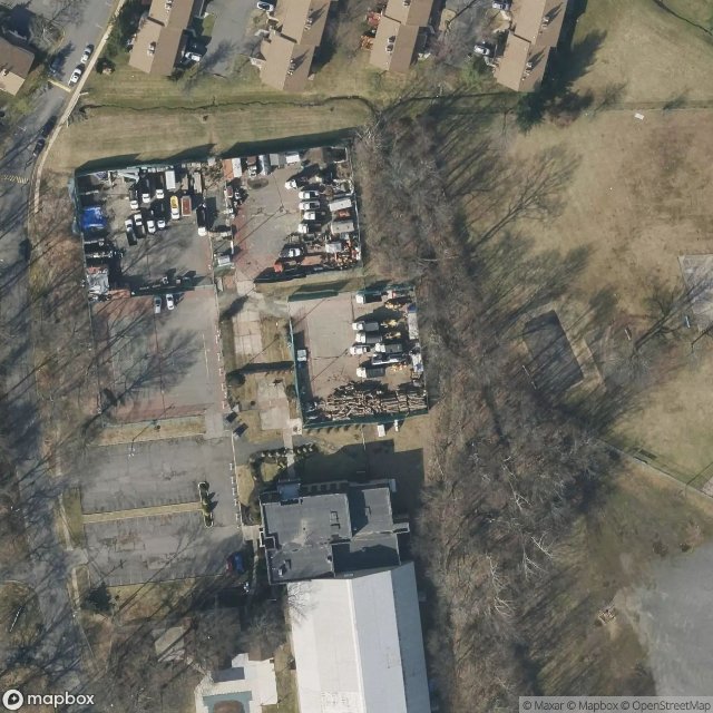
Hagedorn Psychiatric Hospital
Iselin

Jake Brown Road, Old Bridge Township

Lincoln Park, New Brunswick

Phoenix, Sayreville

Schmidt Lane, North Brunswick Township

Scoop to My Lou, East Brunswick Township

South Old Bridge, Old Bridge Township

Ten Mile Run, South Brunswick

US 1, South Brunswick