Canterbury
Urbex Map The Plotted Void
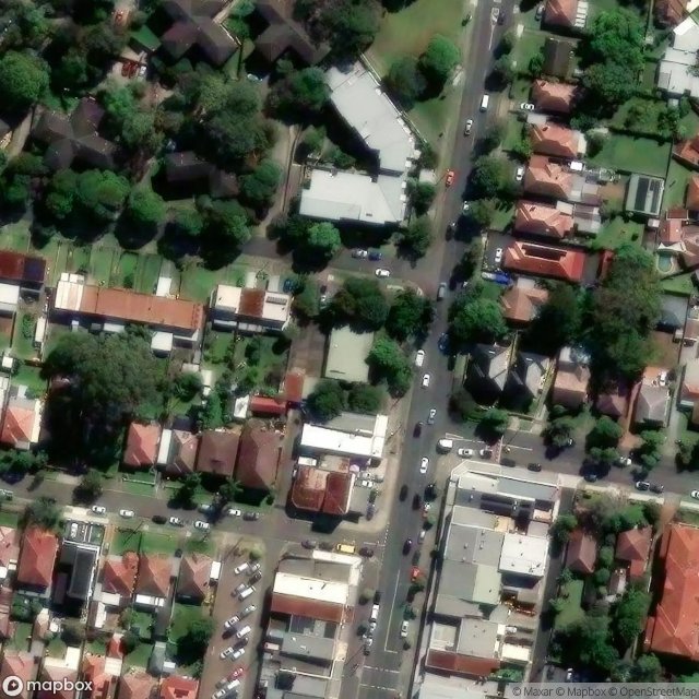
CanterburyNew South WalesAustralia
Regular lifetime updates
The Plotted Void - Coordonnées GPS Urbex
Obtenez la coordonnée GPS exacte de ce lieu abandonné situé dans le département Canterbury (New South Wales, Australia). Spot urbex vérifié et géolocalisé.
Salt Pan Creek is an urban watercourse of the Georges River catchment, located in the Canterbury-Bankstown region of Sydney, in New South Wales, Australia. The banks of the creek are of historical importance to Aboriginal Australians, being one of the few places where some Aboriginal families owned land, the site also becoming a focal point for Indigenous rights in the early 20th century.
0,90EUR
Paiement unique - accès à vie
100% Secure Checkout
AMEX
Google Pay
stripe
SSL encrypted · No banking data stored
Ce qui est inclus
- Coordonnée GPS exacte
- Photo satellite du spot
- Accès immédiat après achat