Urbex Map Lake Macquarie
12 abandoned places in Lake Macquarie

12
spots
One-time payment - lifetime access
100% Secure Checkout
SSL encrypted · No banking data stored
Regular lifetime updates
All abandoned places in Lake Macquarie
12 verified GPS coordinates in the department of Lake Macquarie, New South Wales, Australia.
Looking for abandoned places in Lake Macquarie, New South Wales, Australia? Urbex Maps offers 12 verified GPS coordinates of abandoned buildings in this area, including .
12
verified spots
GPS
Google Maps, Waze
July 2026
last update
Where to find abandoned places in Lake Macquarie?
The best way to find abandoned places in Lake Macquarie is through the interactive urbex map on Urbex Maps with 12 verified GPS coordinates. Top categories are .
Spots in Lake Macquarie

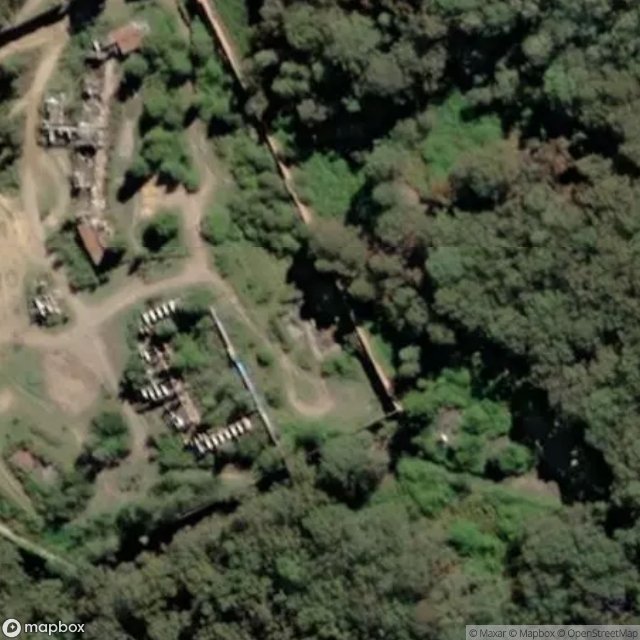
Burwood Colliery access, Newcastle-Maitland

Burwood Road, Newcastle-Maitland

Colleen Lane, City of Lake Macquarie

Fernleigh Track, Newcastle-Maitland

Heaton Street, Newcastle-Maitland

Hindmarsh Street, Newcastle-Maitland
Kingfisher Shores
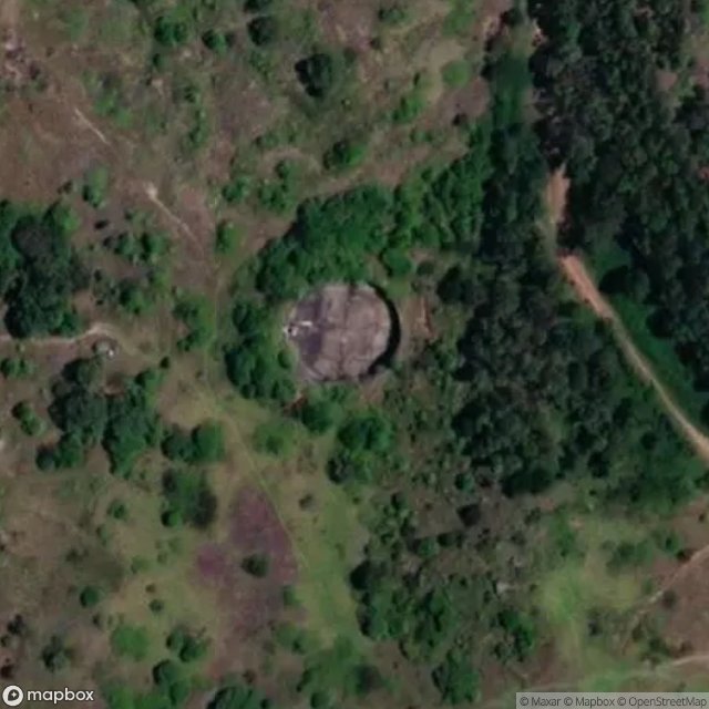
Pit

Saddlers Way, City of Lake Macquarie

Southern Headland Trail, City of Lake Macquarie

The Greenway Track, Newcastle-Maitland
Wangi Road, Rathmines