Urbex Map Newcastle
9 abandoned places in Newcastle

9
spots
One-time payment - lifetime access
100% Secure Checkout
SSL encrypted · No banking data stored
Regular lifetime updates
Themes included in this pack
- Schools
All abandoned places in Newcastle
9 verified GPS coordinates in the department of Newcastle, New South Wales, Australia.
Looking for abandoned places in Newcastle, New South Wales, Australia? Urbex Maps offers 9 verified GPS coordinates of abandoned buildings in this area, including Schools.
9
verified spots
GPS
Google Maps, Waze
July 2026
last update
Where to find abandoned places in Newcastle?
The best way to find abandoned places in Newcastle is through the interactive urbex map on Urbex Maps with 9 verified GPS coordinates. Top categories are Schools.
Types of abandoned places in Newcastle
- Schools
Spots in Newcastle

Dairy Farmer's Corner, Newcastle

Lyrique Lane, Newcastle

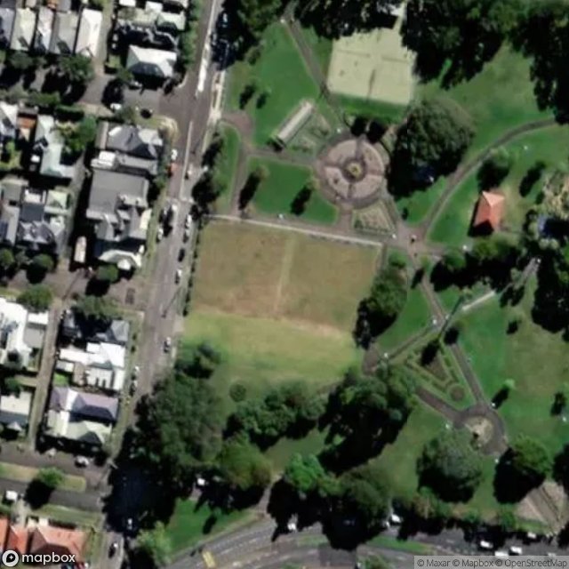
Park Avenue, Newcastle

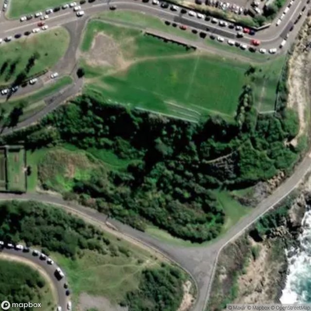
Park Battery No. 1 Gun and Bunker, Newcastle
Samdon Street, Newcastle

Scenic Drive, Newcastle

Searchlight Bunker (No. 1 Searchlight), Newcastle
Shortland Esplanade, Newcastle

Wickham School of Arts