Urbex Map Wollongong
21 abandoned places in Wollongong

21
spots
One-time payment - lifetime access
100% Secure Checkout
SSL encrypted · No banking data stored
Regular lifetime updates
Themes included in this pack
- Bunkers
- Military
- Ruins
All abandoned places in Wollongong
21 verified GPS coordinates in the department of Wollongong, New South Wales, Australia.
Looking for abandoned places in Wollongong, New South Wales, Australia? Urbex Maps offers 21 verified GPS coordinates of abandoned buildings in this area, including Bunkers, Military, Ruins.
21
verified spots
GPS
Google Maps, Waze
July 2026
last update
Where to find abandoned places in Wollongong?
The best way to find abandoned places in Wollongong is through the interactive urbex map on Urbex Maps with 21 verified GPS coordinates. Top categories are Bunkers, Military, Ruins.
Types of abandoned places in Wollongong
- Bunkers
- Military
- Ruins
Spots in Wollongong

Chellow Dene Avenue, Wollongong City Council

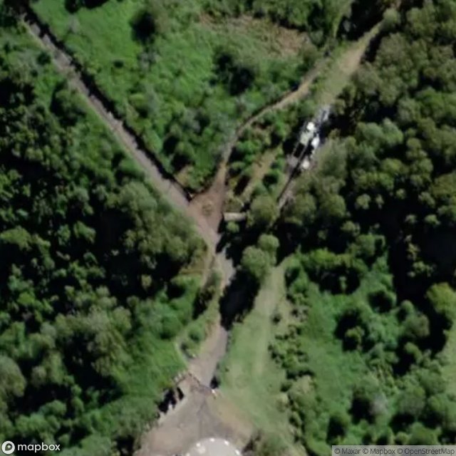
Climber's Path, Wollongong City Council
Coronet Place, Dapto

Crown Street, Wollongong City Council
Dovers Drive, Wollongong City Council

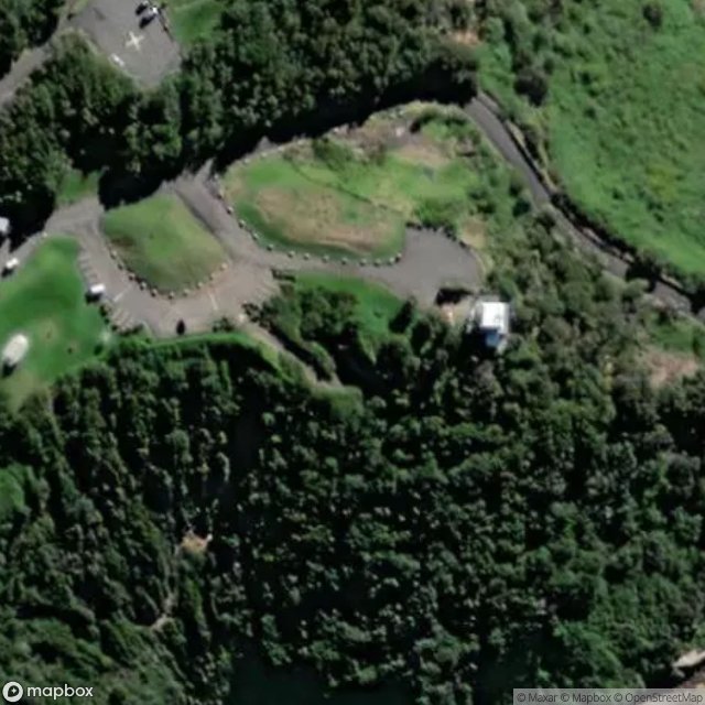
Garrawarra Centre, Helensburgh
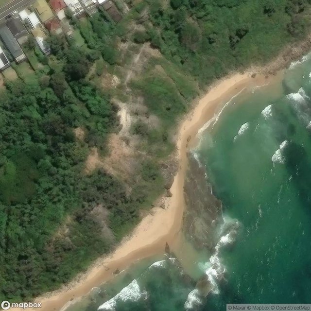
Grand Pacific Walk, Wollongong City Council

Grand Pacific Walk, Wollongong City Council

Lawrence Hargrave Drive, Wollongong City Council

Mt Kembla Ring Track, Wollongong City Council

Mt Nebo Bunker, Wollongong City Council

Murranar Road, Wollongong City Council
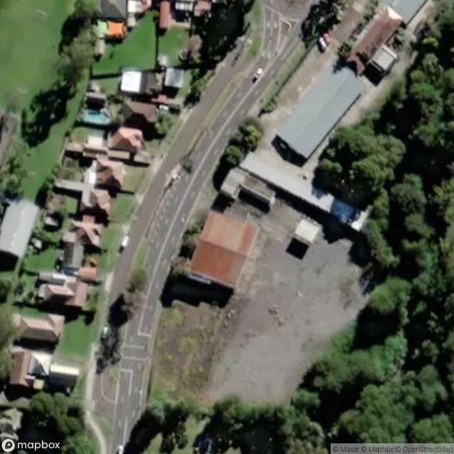
Princes Highway, Wollongong City Council

Tasman Parade, Wollongong City Council

The Geometry of Silence

The Latent Coordinate

The Latent Geometry

The Stella, Wollongong City Council

Tunnel Road, Helensburgh

West Dapto Road, Wollongong City Council

Wollongong City Council