Wattle Range
Urbex Map Thomas Drive, Mount Burr
Wattle RangeSouth AustraliaAustralia
Regular lifetime updates
Thomas Drive, Mount Burr - Coordonnées GPS Urbex
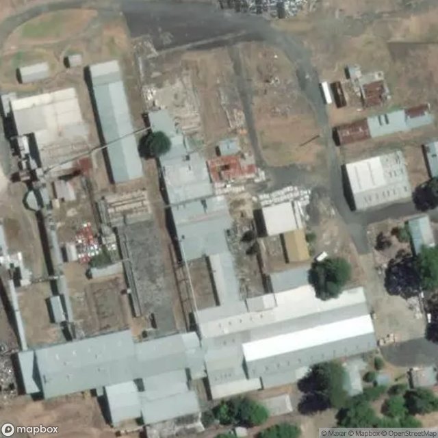
Obtenez la coordonnée GPS exacte de ce lieu abandonné situé dans le département Wattle Range (South Australia, Australia). Spot urbex vérifié et géolocalisé.
Mount Burr is a small town in the south-east of South Australia, about 10 km (6.2 mi) east of Millicent and about 55 km (34 mi) north-west of Mount Gambier, in the Limestone Coast region. It derives its name from a nearby mountain, Mount Burr.
0,90EUR
Paiement unique - accès à vie
100% Secure Checkout
AMEX
Google Pay
stripe
SSL encrypted · No banking data stored
Ce qui est inclus
- Coordonnée GPS exacte
- Photo satellite du spot
- Accès immédiat après achat