Greater Geelong
Urbex Map Traces in the Grid
Greater GeelongVictoriaAustralia
Regular lifetime updates
Traces in the Grid - Coordonnées GPS Urbex
Obtenez la coordonnée GPS exacte de ce lieu abandonné situé dans le département Greater Geelong (Victoria, Australia). Spot urbex vérifié et géolocalisé.
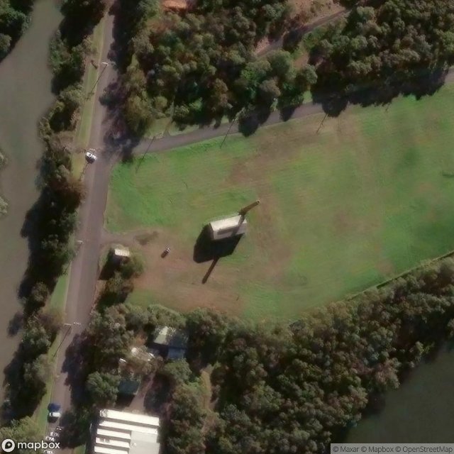
Balyang Sanctuary is a public park in the suburb of Newtown, Geelong. Situated at 38.1642°S 144.3312°E / -38.1642; 144.3312 on the banks of the Barwon River, it is 20 acres (8 ha) in size and consists of open park lands, lakes, and wetlands. It was opened in 1973.
0,90EUR
Paiement unique - accès à vie
100% Secure Checkout
AMEX
Google Pay
stripe
SSL encrypted · No banking data stored
Ce qui est inclus
- Coordonnée GPS exacte
- Photo satellite du spot
- Accès immédiat après achat