Urbex Map Cockburn
11 abandoned places in Cockburn

11
spots
One-time payment - lifetime access
100% Secure Checkout
SSL encrypted · No banking data stored
Regular lifetime updates
Themes included in this pack
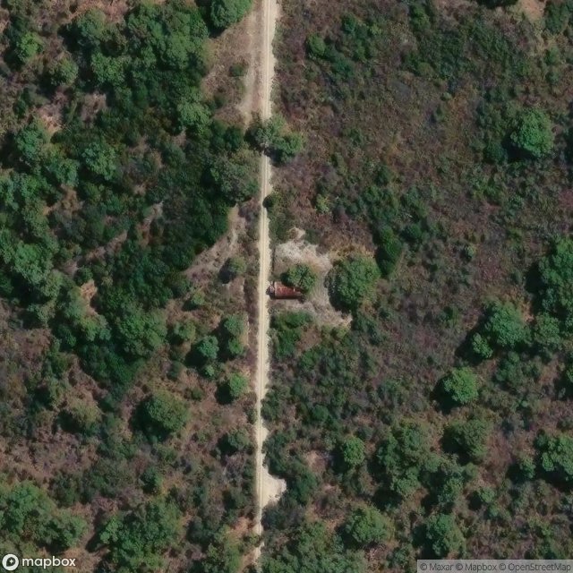
- Wrecks
All abandoned places in Cockburn
11 verified GPS coordinates in the department of Cockburn, Western Australia, Australia.
Looking for abandoned places in Cockburn, Western Australia, Australia? Urbex Maps offers 11 verified GPS coordinates of abandoned buildings in this area, including Wrecks.
11
verified spots
GPS
Google Maps, Waze
July 2026
last update
Where to find abandoned places in Cockburn?
The best way to find abandoned places in Cockburn is through the interactive urbex map on Urbex Maps with 11 verified GPS coordinates. Top categories are Wrecks.
Types of abandoned places in Cockburn
- Wrecks
Spots in Cockburn

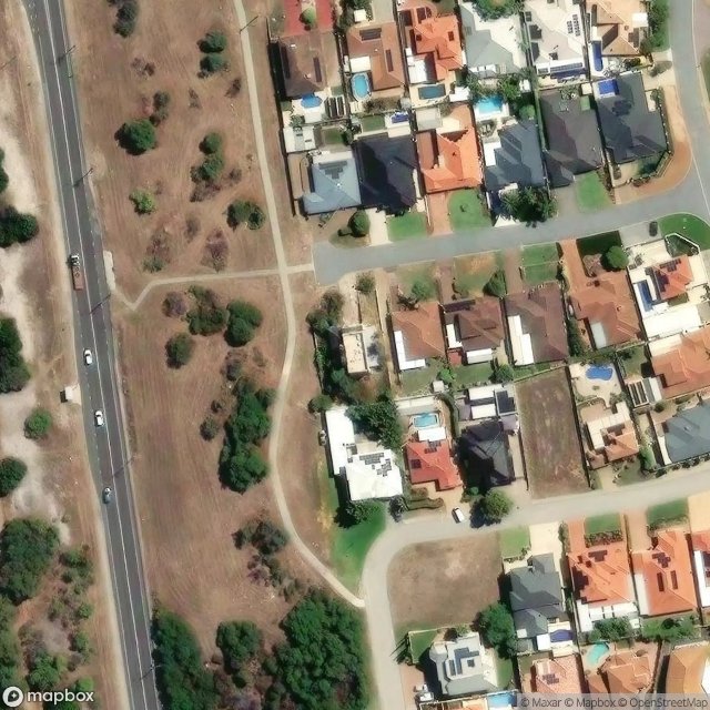
Branch Circus, City of Cockburn
Cockburn Road Shared Path, City of Cockburn
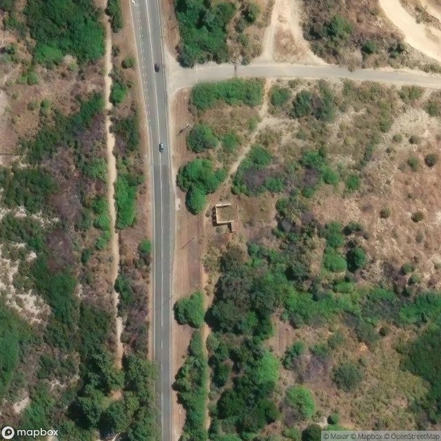
Cockburn Road, City of Cockburn
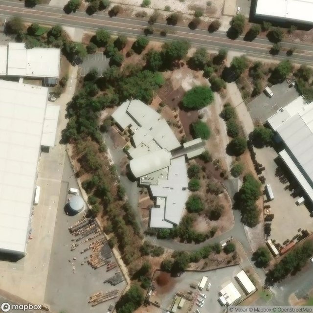
Coffey Road, City of Cockburn
Green Vale Heights, City of Cockburn
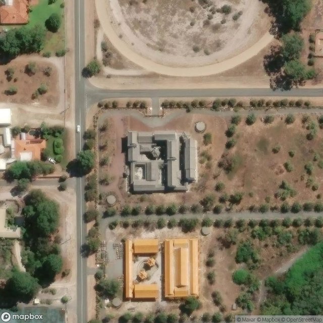
Points of Imported Shadow
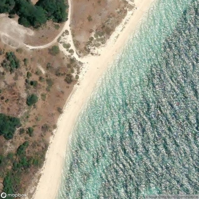
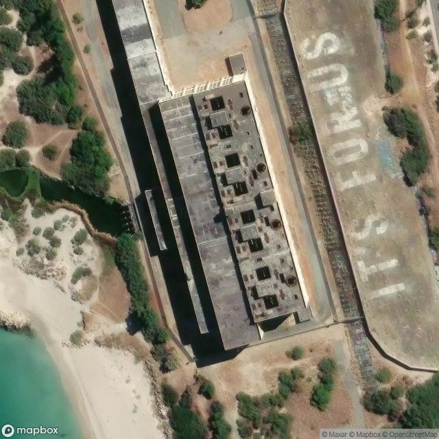
Site of Bickley Jetty (1941)
Straughair Street, City of Cockburn
The Geometry of Silence
The Imported Spectral Trace
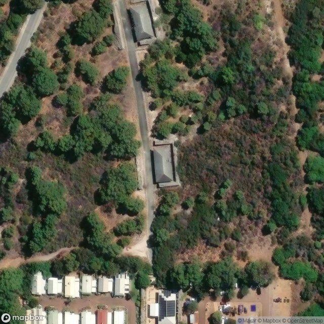
Woodman Point Holiday Park, City of Cockburn