Christchurch
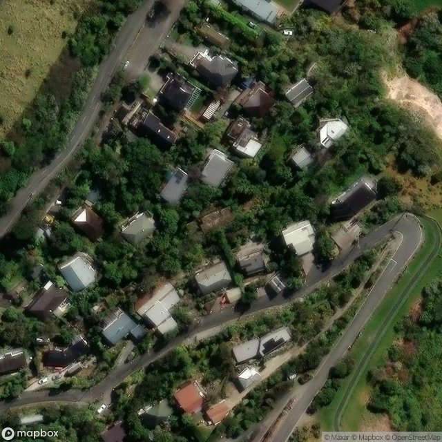
Urbex Map Richmond Hill Road, Christchurch
ChristchurchCanterburyNew Zealand
Regular lifetime updates
Richmond Hill Road, Christchurch - Coordonnées GPS Urbex
Obtenez la coordonnée GPS exacte de ce lieu abandonné situé dans le département Christchurch (Canterbury, New Zealand). Spot urbex vérifié et géolocalisé.
Richmond Hill is a hillside suburb above Sumner in Christchurch, New Zealand. Richmond Hill is a volcanic spur extending from Tauhinukorokio / Mount Pleasant. The first European owner was Edward Dobson, who had a cottage in Nayland Street and whose 50 acres (20 ha) ran up the hill.
0,90EUR
Paiement unique - accès à vie
100% Secure Checkout
AMEX
Google Pay
stripe
SSL encrypted · No banking data stored
Ce qui est inclus
- Coordonnée GPS exacte
- Photo satellite du spot
- Accès immédiat après achat