Rabaul
Urbex Map Clarke Street, Rabaul
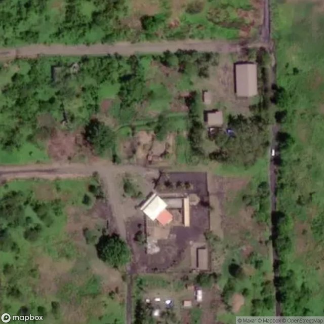
RabaulEast New BritainPapua New Guinea
Regular lifetime updates
Clarke Street, Rabaul - Coordonnées GPS Urbex
Obtenez la coordonnée GPS exacte de ce lieu abandonné situé dans le département Rabaul (East New Britain, Papua New Guinea). Spot urbex vérifié et géolocalisé.
The 8th Military District was an administrative district of the Australian Army. During the Second World War, the 8th Military District covered the Territory of New Guinea, the Solomon Islands and the New Hebrides, with its headquarters firstly at Rabaul and later at Port Moresby. In 1942, the 8th Military District was converted into New Guinea Force.
0,90EUR
Paiement unique - accès à vie
100% Secure Checkout
AMEX
Google Pay
stripe
SSL encrypted · No banking data stored
Ce qui est inclus
- Coordonnée GPS exacte
- Photo satellite du spot
- Accès immédiat après achat