Liege
Urbex-kaart Charbonnage du Hasard
LiegeWallonieBelgië
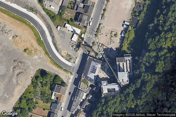
Charbonnage du Hasard - Coordonnées GPS Urbex
Obtenez la coordonnée GPS exacte de ce lieu abandonné situé dans le département Liege (Wallonie, België). Spot urbex vérifié et géolocalisé.
The Coal mine of Hasard de Cheratte (or Cheratte 10) was the main colliery of the Société anonyme des Charbonnages du Hasard, and had four shafts. It is located in Cheratte, a section of the Belgian town of Visé in Liège province in Wallonia. The first shaft was dug in 1850 to extract dice coal and closed for the first time in 1877 following an accident.
0,90EUR
Paiement unique - accès à vie
100% veilige betaling
AMEX
Google Pay
stripe
SSL-versleutelde verbinding · Geen bankgegevens opgeslagen
Ce qui est inclus
- Coordonnée GPS exacte
- Photo satellite du spot
- Accès immédiat après achat