Vrsar
Urbex-kaart Obala maršala Tita, Općina Vrsar
VrsarIstarskaKroatië
Gratis updates voor het leven
Obala maršala Tita, Općina Vrsar - Coordonnées GPS Urbex
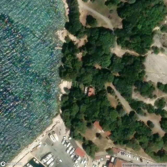
Obtenez la coordonnée GPS exacte de ce lieu abandonné situé dans le département Vrsar (Istarska, Kroatië). Spot urbex vérifié et géolocalisé.
Vrsar (Italian and Venetian: Orsera) is a seaside village and a municipality in Istria, west Croatia, located 9 kilometers south of Poreč. The historical center is located on top of a hill, including the St. Martin parish church and the 40-meter high bell tower.
0,90EUR
Paiement unique - accès à vie
100% veilige betaling
AMEX
Google Pay
stripe
SSL-versleutelde verbinding · Geen bankgegevens opgeslagen
Ce qui est inclus
- Coordonnée GPS exacte
- Photo satellite du spot
- Accès immédiat après achat