Prachatice
Urbex-kaart Stará Huť, Nové Hutě
PrachaticeJihoceskyTsjechië
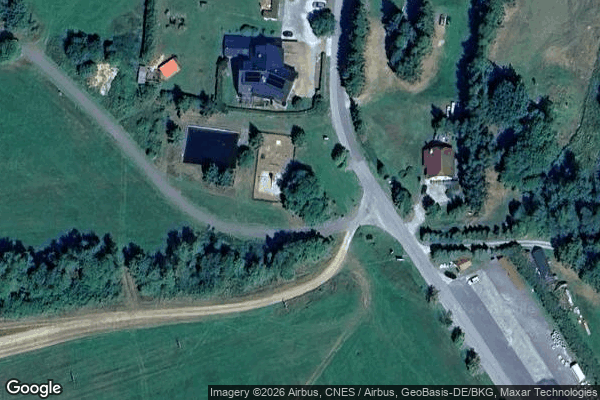
Stará Huť, Nové Hutě - Coordonnées GPS Urbex
Obtenez la coordonnée GPS exacte de ce lieu abandonné situé dans le département Prachatice (Jihocesky, Tsjechië). Spot urbex vérifié et géolocalisé.
Nové Hutě (German: Kaltenbach) is a municipality and village in Prachatice District in the South Bohemian Region of the Czech Republic. It has about 100 inhabitants. Nové Hutě lies approximately 27 kilometres (17 mi) west of Prachatice, 62 km (39 mi) west of České Budějovice, and 130 km (81 mi) south-west of Prague.
0,90EUR
Paiement unique - accès à vie
100% veilige betaling
AMEX
Google Pay
stripe
SSL-versleutelde verbinding · Geen bankgegevens opgeslagen
Ce qui est inclus
- Coordonnée GPS exacte
- Photo satellite du spot
- Accès immédiat après achat