Gard
Urbex-kaart Abandoned Nursery School/ Fourques/ France
GardOccitanieFrankrijk
Gratis updates voor het leven
- Scholen
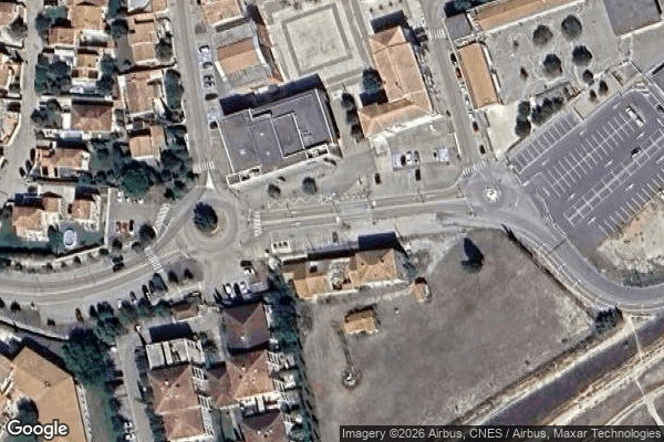
Abandoned Nursery School/ Fourques/ France - Coordonnées GPS Urbex
Obtenez la coordonnée GPS exacte de ce lieu abandonné situé dans le département Gard (Occitanie, Frankrijk). Spot urbex vérifié et géolocalisé.
Fourques (French pronunciation: [fuʁk] ; Occitan: Forcas) is a commune and a village in the southeastern corner of the Gard department in southern France, some 4 km (2.5 mi) north of Arles. The village is located at the confluence of the Rhone and the Little Rhone and sprang up adjoining a bridge across the latter built by the Romans. A historic suspension bridge was constructed across the Little Rhone early in the nineteenth century.
0,90EUR
Paiement unique - accès à vie
100% veilige betaling
AMEX
Google Pay
stripe
SSL-versleutelde verbinding · Geen bankgegevens opgeslagen
Ce qui est inclus
- Coordonnée GPS exacte
- Photo satellite du spot
- Accès immédiat après achat