Wittmund
Urbex-kaart Langeoog
WittmundNiedersachsenDuitsland
Gratis updates voor het leven
Langeoog - Coordonnées GPS Urbex
Obtenez la coordonnée GPS exacte de ce lieu abandonné situé dans le département Wittmund (Niedersachsen, Duitsland). Spot urbex vérifié et géolocalisé.
Langeoog (German pronunciation: [ˈlaŋəˌʔoːk] ; Low German: Langeoog) is one of the seven inhabited East Frisian Islands at the edge of the Lower Saxon Wadden Sea in the southern North Sea, located between Baltrum Island (west), and Spiekeroog (east). It is also a municipality in the district of Wittmund in Lower Saxony, Germany. The name Langeoog means Long Island in the Low German dialect.
0,90EUR
Paiement unique - accès à vie
100% veilige betaling
AMEX
Google Pay
stripe
SSL-versleutelde verbinding · Geen bankgegevens opgeslagen
Ce qui est inclus
- Coordonnée GPS exacte
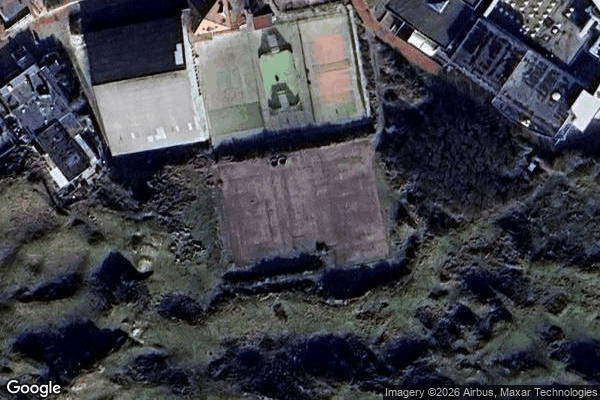
- Photo satellite du spot
- Accès immédiat après achat