Weimarer Land
Urbex-kaart München, Bad Berka
Weimarer LandThuringenDuitsland
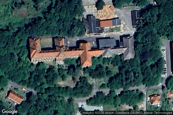
München, Bad Berka - Coordonnées GPS Urbex
Obtenez la coordonnée GPS exacte de ce lieu abandonné situé dans le département Weimarer Land (Thuringen, Duitsland). Spot urbex vérifié et géolocalisé.
Tonndorfbach is a river of Thuringia, Germany. It flows into the Ilm near Bad Berka. The Tonndorfbach flows through the forested sandstone‑hill region known as Tannrodaer Waldland, a 69 km² natural landscape between Bad Berka, Hohenfelden, Kranichfeld, and Blankenhain.Tannrodaer Waldland belongs to the broader natural‑landscape unit “Ilm‑Saale‑ and Ohrdrufer Plate”.
0,90EUR
Paiement unique - accès à vie
100% veilige betaling
AMEX
Google Pay
stripe
SSL-versleutelde verbinding · Geen bankgegevens opgeslagen
Ce qui est inclus
- Coordonnée GPS exacte
- Photo satellite du spot
- Accès immédiat après achat