Ketrzyn
Urbex-kaart The Third Reich Lock
KetrzynWarminsko MazurskiePolen
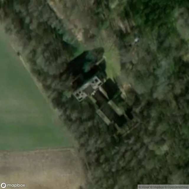
The Third Reich Lock - Coordonnées GPS Urbex
Obtenez la coordonnée GPS exacte de ce lieu abandonné situé dans le département Ketrzyn (Warminsko Mazurskie, Polen). Spot urbex vérifié et géolocalisé.
Kaczory [kaˈt͡ʂɔrɨ] is a settlement in the administrative district of Gmina Srokowo, within Kętrzyn County, Warmian-Masurian Voivodeship, in northern Poland, close to the border with the Kaliningrad Oblast of Russia.
0,90EUR
Paiement unique - accès à vie
100% veilige betaling
AMEX
Google Pay
stripe
SSL-versleutelde verbinding · Geen bankgegevens opgeslagen
Ce qui est inclus
- Coordonnée GPS exacte
- Photo satellite du spot
- Accès immédiat après achat