Urbex-kaart Vápenka, Bratislava
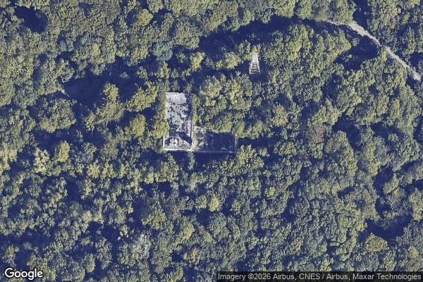
Vápenka, Bratislava - Coordonnées GPS Urbex
Obtenez la coordonnée GPS exacte de ce lieu abandonné situé dans le département Bratislava Iv (Bratislavsky, Slowakije). Spot urbex vérifié et géolocalisé.
Devínska Kobyla (Slovak pronunciation: [ˈɟeʋiːnska ˈkɔbila]; Hungarian: Dévényi-tető; German: Thebener Kogel) is the highest peak in the Devín Carpathians, part of the Little Carpathians mountain range, and the highest point of Bratislava, the capital of Slovakia. It is located between the boroughs of Devínska Nová Ves, Devín and Dúbravka, close to the border with Austria. Its peak elevation is 514 m (1686.3 ft) AMSL and its treeless summit contains an abandoned military missile base (Slovak: Rá
Paiement unique - accès à vie
100% veilige betaling
SSL-versleutelde verbinding · Geen bankgegevens opgeslagen
Ce qui est inclus
- Coordonnée GPS exacte
- Photo satellite du spot
- Accès immédiat après achat