Doncaster
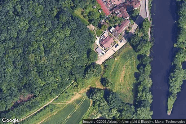
Urbex-kaart Lower Sprotbrough Village Pump
DoncasterEnglandVerenigd Koninkrijk
Gratis updates voor het leven
Lower Sprotbrough Village Pump - Coordonnées GPS Urbex
Obtenez la coordonnée GPS exacte de ce lieu abandonné situé dans le département Doncaster (England, Verenigd Koninkrijk). Spot urbex vérifié et géolocalisé.
Sprotborough (H&B) railway station was a small station on the South Yorkshire Junction Railway, which ran south from Wrangbrook Junction, where it joined the main line of the Hull and Barnsley Railway. It was situated between Denaby and Conisbrough and Pickburn and Brodsworth station. See also Sprotborough (SYR) railway station.
0,90EUR
Paiement unique - accès à vie
100% veilige betaling
AMEX
Google Pay
stripe
SSL-versleutelde verbinding · Geen bankgegevens opgeslagen
Ce qui est inclus
- Coordonnée GPS exacte
- Photo satellite du spot
- Accès immédiat après achat