Gloucestershire
Urbex-kaart Severn Bridge Station
GloucestershireEnglandVerenigd Koninkrijk
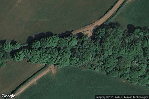
Severn Bridge Station - Coordonnées GPS Urbex
Obtenez la coordonnée GPS exacte de ce lieu abandonné situé dans le département Gloucestershire (England, Verenigd Koninkrijk). Spot urbex vérifié et géolocalisé.
The Gloucester and Sharpness Canal (also known as the Gloucester and Berkeley Canal) is a ship canal in the west of England, between Gloucester and Sharpness, completed in 1827. For much of its length the canal runs close to the tidal River Severn, but it cuts off a long loop in the river at a once-dangerous bend near Arlingham. It was once the broadest and deepest canal in the world.
0,90EUR
Paiement unique - accès à vie
100% veilige betaling
AMEX
Google Pay
stripe
SSL-versleutelde verbinding · Geen bankgegevens opgeslagen
Ce qui est inclus
- Coordonnée GPS exacte
- Photo satellite du spot
- Accès immédiat après achat