Liverpool
Urbex-kaart L18 49, Liverpool
LiverpoolEnglandVerenigd Koninkrijk
Gratis updates voor het leven
- Landhuizen
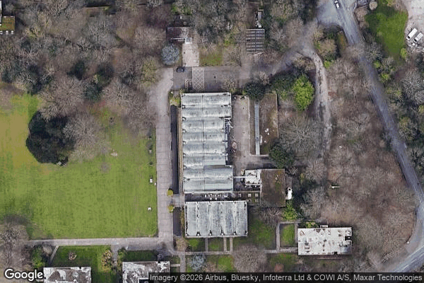
L18 49, Liverpool - Coordonnées GPS Urbex
Obtenez la coordonnée GPS exacte de ce lieu abandonné situé dans le département Liverpool (England, Verenigd Koninkrijk). Spot urbex vérifié et géolocalisé.
The Church of St Matthew and St James stands on the top of a hill in Rose Lane, Mossley Hill, Liverpool, England. It is an active Anglican parish church in the deanery of Liverpool South Childwall, the archdeaconry of Liverpool and the diocese of Liverpool. The church is recorded in the National Heritage List for England as a designated Grade II* listed building.
0,90EUR
Paiement unique - accès à vie
100% veilige betaling
AMEX
Google Pay
stripe
SSL-versleutelde verbinding · Geen bankgegevens opgeslagen
Ce qui est inclus
- Coordonnée GPS exacte
- Photo satellite du spot
- Accès immédiat après achat