Manchester
Urbex-kaart The River
ManchesterEnglandVerenigd Koninkrijk
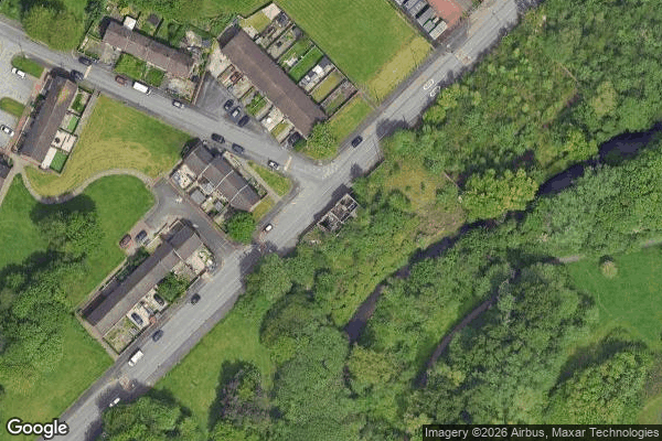
The River - Coordonnées GPS Urbex
Obtenez la coordonnée GPS exacte de ce lieu abandonné situé dans le département Manchester (England, Verenigd Koninkrijk). Spot urbex vérifié et géolocalisé.
Ancoats Hall in Ancoats, Manchester, England, was a post-medieval country house built in 1609 by Oswald Mosley, a member of the Mosley family, Lords of the Manor of Manchester. The old timber-framed hall, built in the early 17th century, was described by John Aiken in his 1795 book Description of the country from 30 to 40 miles around Manchester. The old hall was demolished in the 1820s and replaced by a brick building in the early neo-Gothic style.
0,90EUR
Paiement unique - accès à vie
100% veilige betaling
AMEX
Google Pay
stripe
SSL-versleutelde verbinding · Geen bankgegevens opgeslagen
Ce qui est inclus
- Coordonnée GPS exacte
- Photo satellite du spot
- Accès immédiat après achat