Somerset
Urbex-kaart Foundations of Tom's house
SomersetEnglandVerenigd Koninkrijk
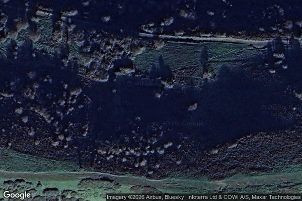
Foundations of Tom's house - Coordonnées GPS Urbex
Obtenez la coordonnée GPS exacte de ce lieu abandonné situé dans le département Somerset (England, Verenigd Koninkrijk). Spot urbex vérifié et géolocalisé.
Brean Down is a promontory off the coast of Somerset, England, standing 318 feet (97 m) high and extending 1+1⁄2 miles (2.5 kilometres) into the Bristol Channel at the eastern end of Bridgwater Bay between Weston-super-Mare and Burnham-on-Sea. Made of Carboniferous Limestone, it is a continuation of the Mendip Hills. Two further continuations are the small islands of Steep Holm and Flat Holm.
0,90EUR
Paiement unique - accès à vie
100% veilige betaling
AMEX
Google Pay
stripe
SSL-versleutelde verbinding · Geen bankgegevens opgeslagen
Ce qui est inclus
- Coordonnée GPS exacte
- Photo satellite du spot
- Accès immédiat après achat