Causeway Coast And Glens
Urbex-kaart Ballycastle
Causeway Coast And GlensNorthern IrelandVerenigd Koninkrijk
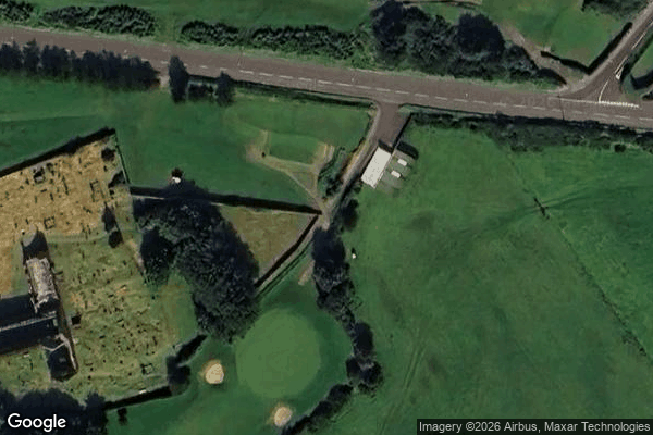
Ballycastle - Coordonnées GPS Urbex
Obtenez la coordonnée GPS exacte de ce lieu abandonné situé dans le département Causeway Coast And Glens (Northern Ireland, Verenigd Koninkrijk). Spot urbex vérifié et géolocalisé.
Bonamargy Friary is situated in County Antrim, Northern Ireland, off the Cushendall Road on the approach to Ballycastle. The name Bonamargy means ‘foot of the Margy River’, the river formed by the joining of the Cary River and Shesk Rivers. It is a late Franciscan foundation established in 1485 by Rory MacQuillan.
0,90EUR
Paiement unique - accès à vie
100% veilige betaling
AMEX
Google Pay
stripe
SSL-versleutelde verbinding · Geen bankgegevens opgeslagen
Ce qui est inclus
- Coordonnée GPS exacte
- Photo satellite du spot
- Accès immédiat après achat